Muirdrum
| Muirdrum | |
| Scots: Muirdrum | |
 Muirdrum |
|
| OS grid reference | NO563372 |
|---|---|
| – Edinburgh | 43 mi (69 km) SSW |
| – London | 368 mi (592 km) SSE |
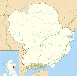
| Council area | Angus |
| Lieutenancy area | Angus |
| Country | Scotland |
| Sovereign state | United Kingdom |
| Post town | CARNOUSTIE |
| Postcode district | DD7 |
| Dialling code | 01241 |
| Police | Scottish |
| Fire | Scottish |
| Ambulance | Scottish |
| EU Parliament | Scotland |
| UK Parliament | Dundee East |
| Scottish Parliament | Angus |
| North East Scotland | |
Coordinates: 56°31′29″N 2°42′43″W / 56.524790°N 2.711928°W
Muirdrum /mjʊərˈdrʌm/ is a small village in the council area of Angus, Scotland. It is situated at the junction of the old A92 road from Dundee to Arbroath, the A930 to Carnoustie and B9128 to Forfar. Its closest town is Carnoustie, which lies approximately 2 km (1 mi) to the south.[1]
The village is mentioned in the list of lands purchased by George Maule, 2nd Earl of Panmure in 1667.[2] These lands were forfeited by his heir, James Maule, 4th Earl of Panmure following the Jacobite Rebellion in 1715.[3] The opening of the Dundee to Arbroath turnpike road (later designated the A92 road) at the beginning of the 19th century lead to some expansion along this road.

Muirdrum (during A92 upgrade)
See also
References
- ↑ "Dundee and Montrose, Forfar and Arbroath", Ordnance Survey Landranger Map (B2 ed.), 2007, ISBN 0-319-22980-7
- ↑ Ratification in favours of the earle of Panmuire, 1672, retrieved 11 September 2008
- ↑ Campbell, J.A. (1867), Balmerino and its abbey, a parochial history, Edinburgh: William Patterson, retrieved 8 September 2008
External links
| Wikimedia Commons has media related to Muirdrum. |
This article is issued from Wikipedia - version of the 9/24/2016. The text is available under the Creative Commons Attribution/Share Alike but additional terms may apply for the media files.