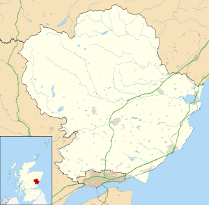
Balintore, Angus
This article is about the village in Angus. For other uses, see Balintore.
Coordinates: 56°43′02″N 3°09′59″W / 56.717215°N 3.166494°W
Balintore (Scottish Gaelic: Baile an Todhair) is a village in Angus, Scotland. It lies in Glen Isla, four miles north of the Loch of Lintrathen and seven miles west of Kirriemuir.[1] Approximately half a mile to the east is Knowehead of Auldallan farm, where there can be found a pair of uninscribed standing stones.[2]
References
- ↑ "Dundee and Montrose, Forfar and Arbroath", Ordnance Survey Landranger Map (B2 ed.), 2007, ISBN 0-319-22980-7
- ↑ "Auldallan". The Megalithic Portal. Retrieved October 5, 2010.
| Wikimedia Commons has media related to Balintore, Angus. |
This article is issued from Wikipedia - version of the 9/16/2015. The text is available under the Creative Commons Attribution/Share Alike but additional terms may apply for the media files.

