Molen, Utah
| Molen, Utah | |
|---|---|
| Unincorporated community | |
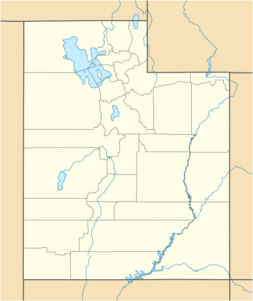 Molen  Molen Location in Utah | |
| Coordinates: 39°05′18″N 111°04′25″W / 39.08833°N 111.07361°WCoordinates: 39°05′18″N 111°04′25″W / 39.08833°N 111.07361°W | |
| Country | United States |
| State | Utah |
| County | Emery |
| Settled | 1878 |
| Named for | Mike Molen |
| Elevation[1] | 5,764 ft (1,757 m) |
| Time zone | Mountain (MST) (UTC-7) |
| • Summer (DST) | MDT (UTC-6) |
| ZIP code | 84523 |
| Area code(s) | 435 |
| GNIS feature ID | 1437640[1] |
Molen is an unincorporated community in Emery County, Utah, United States. Lying 2 miles (3.2 km) east of the city of Ferron, Molen has always been closely associated with Ferron. It was settled as an outgrowth of Ferron beginning about 1878 after Mike Molen brought his cattle and horses into Castle Valley and settled by Ferron Creek. Molen was previously named Lower Ferron.[2]
| Historical population | |||
|---|---|---|---|
| Census | Pop. | %± | |
| 1890 | 134 | — | |
| 1900 | 164 | 22.4% | |
| 1910 | 141 | −14.0% | |
| 1920 | 129 | −8.5% | |
| 1930 | 51 | −60.5% | |
| 1940 | 94 | 84.3% | |
| 1950 | 50 | −46.8% | |
| Source: U.S. Census Bureau[3] | |||
References
- 1 2 "Molen". Geographic Names Information System. United States Geological Survey. Retrieved March 27, 2014.
- ↑ Van Cott, John W. (1990). Utah Place Names. Salt Lake City: University of Utah Press. p. 254. ISBN 0-87480-345-4.
- ↑ "Census of Population and Housing". U.S. Census Bureau. Retrieved November 18, 2011.
Municipalities and communities of Emery County, Utah, United States | ||
|---|---|---|
| Cities | 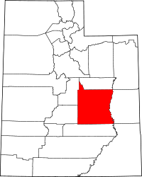 | |
| Towns | ||
| Unincorporated communities | ||
| Indian reservation | ||
| Ghost towns | ||
| Footnotes | ‡This populated place also has portions in an adjacent county or counties | |
This article is issued from Wikipedia - version of the 11/5/2016. The text is available under the Creative Commons Attribution/Share Alike but additional terms may apply for the media files.
