Mechanicsville Historic District
|
Mechanicsville Historic District | |
  | |
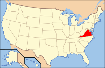
| Location | Roughly bounded by Floyd, High, North Ridge, Monroe & Upper Sts., Danville, Virginia |
|---|---|
| Coordinates | 36°35′21″N 79°23′52″W / 36.58917°N 79.39778°WCoordinates: 36°35′21″N 79°23′52″W / 36.58917°N 79.39778°W |
| Area | 14.35 acres (5.81 ha) |
| NRHP Reference # | 14000231[1] |
| Added to NRHP | May 19, 2014 |
The Mechanicsville Historic District encompasses a small and cohesive working-class neighborhood west of downtown Danville, Virginia. The district is bounded by Upper Street on the northwest; North Floyd Street on the northeast; High Street on the southeast; and North Ridge Street on the southwest. This area was developed beginning roughly in 1880 as a residential district catering to workers in the nearby tobacco-processing facilities. The houses in the district are in a blend of styles, but are characterized by similar lot sizes and setbacks. The district includes two churches, and a building that originally served as a tobacco prizery (a building where tobacco leaves are packed into barrels). The neighborhood was a center of civil rights activism during the 1960s, playing host to Martin Luther King, Jr. It was once somewhat larger; areas to the west and north were razed during urban redevelopment efforts.[2]
The district was listed on the National Register of Historic Places in 2014.[1]
See also
References
- 1 2 National Park Service (2010-07-09). "National Register Information System". National Register of Historic Places. National Park Service.
- ↑ "NRHP nominatiaon for Mechanicsville Historic District" (PDF). Virginia DHR. Retrieved 2014-06-04.