McLean, Saskatchewan
For other uses, see McLean.
| Village of Mclean | |
|---|---|
| Village | |
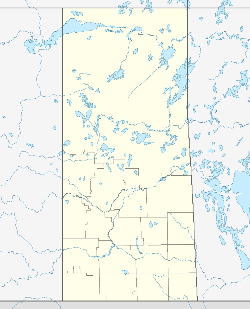  Location of Mclean in Saskatchewan | |
| Coordinates: 50°31′01″N 104°04′01″W / 50.517°N 104.067°W | |
| Country | Canada |
| Province | Saskatchewan |
| Region | Saskatchewan |
| Census division | 6 |
| Rural Municipality | South Qu'appelle |
| Post office Founded | N/A |
| Incorporated (Village) | N/A |
| Incorporated (Town) | N/A |
| Government | |
| • Mayor | Mark Towers |
| • Administrator | Nadine Jensen |
| • Governing body | Mclean Village Council |
| Area | |
| • Total | 1.33 km2 (0.51 sq mi) |
| Population (2011) | |
| • Total | 304 |
| • Density | 204.0/km2 (528/sq mi) |
| Time zone | CST |
| Postal code | S0G 3E0 |
| Area code(s) | 306 |
| Highways | Highway |
| [1][2][3][4] | |
Mclean is a village on Number 1 Highway in the Canadian province of Saskatchewan, between Qu'Appelle and Balgonie.
Mclean has a low crime rate per capita.≈≈≈≈[5]
Demographics
| Canada census – McLean, Saskatchewan community profile | |||
|---|---|---|---|
| 2001 | |||
| Population: | 271 (3.4% from 1996) | ||
| Land area: | 1.33 km2 (0.51 sq mi) | ||
| Population density: | 204.0/km2 (528/sq mi) | ||
| Median age: | 35.1 (M: 36.3, F: 33.5) | ||
| Total private dwellings: | 110 | ||
| Median household income: | $45,874 | ||
| References: 2001[6] | |||
McLean is situated 20 minutes east of the Saskatchewan capital of Regina, on the Trans Canada highway and the Canadian Pacific Railway (CPR) mainline, between Balgonie and Qu'Appelle. This village is the highest point on the CPR east of the Rocky Mountains. A great number of the residents are commuters to Regina and the surrounding area is a combination of acreage holders, farms, ranches and dairy operations. McLean is locally noted for the extraordinarily fine quality of its water source.
See also
 |
Fort Qu'Appelle | | ||
| Balgonie | |
Qu'Appelle | ||
| ||||
| | ||||
External links
- Saskatchewan City & Town Maps
- Saskatchewan Gen Web - One Room School Project
- Post Offices and Postmasters - ArchiviaNet - Library and Archives Canada
- Saskatchewan Gen Web Region
- Online Historical Map Digitization Project
- GeoNames Query
- 2001 Community Profiles
Footnotes
- ↑ National Archives, Archivia Net, Post Offices and Postmasters, archived from the original on October 6, 2006
- ↑ Government of Saskatchewan, MRD Home, Municipal Directory System, archived from the original (– Scholar search) on November 21, 2008
- ↑ Canadian Textiles Institute. (2005), CTI Determine your provincial constituency
- ↑ Commissioner of Canada Elections, Chief Electoral Officer of Canada (2005), Elections Canada On-line, archived from the original on April 21, 2007
- ↑ Village of McLean
- ↑ "2001 Community Profiles". Canada 2001 Census. Statistics Canada. February 17, 2012.
| Subdivisions | |
|---|---|
| Communities | |
| Cities | |
| Topics |
|
| |
Coordinates: 50°31′01″N 104°04′01″W / 50.517°N 104.067°W
This article is issued from Wikipedia - version of the 9/10/2016. The text is available under the Creative Commons Attribution/Share Alike but additional terms may apply for the media files.
