Mayne, County Westmeath (civil parish)
| Mayne Maighean | |
|---|---|
| Civil parish | |
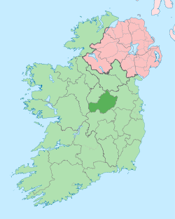
 Mayne Location of Mayne within County Westmeath in the Republic of Ireland | |
| Coordinates: 53°41′11″N 7°22′12″W / 53.68639°N 7.37000°WCoordinates: 53°41′11″N 7°22′12″W / 53.68639°N 7.37000°W | |
| Country |
|
| Province | Leinster |
| County | County Westmeath |
| Irish grid reference | N416709 |
Mayne (Irish: Maighean),[1] is a civil parish in County Westmeath, Ireland. It is located about 18.03 kilometres (11 mi) north of Mullingar.
Mayne is one of 8 civil parishes in the barony of Fore in the Province of Leinster. The civil parish covers 7,197 acres (29.13 km2).
Mayne civil parish comprises the village of Coole and 19 townlands: Ballinealoe, Carn, Clonteens, Coole (townland), Coolure Demesne, Derrya, Fearmore, Lickny, Lispopple, Mayne, Monktown, Newtown, Nonsuch, Packenhamhall or Tullynally, Portjack, Shrubbywood, Simonstown, Tullynally or Pakenhamhall, Turbotstown, Williamstown.
The neighbouring civil parishes are: Lickbla to the north, Rathgarve to the east, Faughalstown to the south and Street to the west.[1][2][3]
References
- 1 2 Mayne civil parish The Placename Database of Ireland. Retrieved on 21 July 2015.
- ↑ Mayne civil parish townlands.ie Retrieved on 21 July 2015.
- ↑ Mayne civil parish The IreAtlas Townland Database. Retrieved on 21 July 2015
External links
- Mayne civil parish at the IreAtlas Townland Data Base
- Mayne civil parish at townlands.ie
- Mayne civil parish at The Placename Database of Ireland