Malá Franková
| Malá Franková | |
| Municipality | |
 Saint Joseph church | |
| Country | Slovakia |
|---|---|
| Region | Prešov |
| District | Kežmarok |
| Elevation | 750 m (2,461 ft) |
| Coordinates | 49°19′00″N 20°18′00″E / 49.31667°N 20.30000°ECoordinates: 49°19′00″N 20°18′00″E / 49.31667°N 20.30000°E |
| Area | 10.808 km2 (4.17 sq mi) |
| Population | 750 |
| Density | 69/km2 (179/sq mi) |
| First mentioned | 1568 |
| Timezone | CET (UTC+1) |
| - summer (DST) | CEST (UTC+2) |
| Area code | 052 |
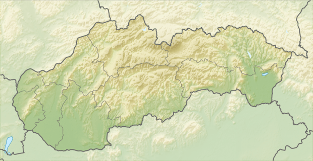 Location in Slovakia | |
| Wikimedia Commons: Category:Malá Franková | |
Malá Franková (Hungarian: Kisfrankvágása, German: Kleinfrankenau) is a village and municipality in Kežmarok District in the Prešov Region of north Slovakia. The village is traditionally inhabited by Rusyns, as one of their westernmost settlements (together with Veľká Franková and Osturňa).
History
In historical records the village was first mentioned in 1568.
Geography
The municipality lies at an altitude of 750 metres and covers an area of 10.808 km² . It has a population of about 180 people.
External links
This article is issued from Wikipedia - version of the 3/15/2015. The text is available under the Creative Commons Attribution/Share Alike but additional terms may apply for the media files.