Mühlau, Germany
| Mühlau | |
|---|---|
 Mühlau | |
Location of Mühlau within Mittelsachsen district 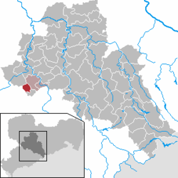 | |
| Coordinates: 50°54′N 12°46′E / 50.900°N 12.767°ECoordinates: 50°54′N 12°46′E / 50.900°N 12.767°E | |
| Country | Germany |
| State | Saxony |
| District | Mittelsachsen |
| Municipal assoc. | Burgstädt |
| Area | |
| • Total | 8.09 km2 (3.12 sq mi) |
| Population (2015-12-31)[1] | |
| • Total | 2,113 |
| • Density | 260/km2 (680/sq mi) |
| Time zone | CET/CEST (UTC+1/+2) |
| Postal codes | 09241 |
| Dialling codes | 03722 |
| Vehicle registration | FG |
| Website | www.muehlau-sachsen.de |
Mühlau is a municipality in the district of Mittelsachsen, in Saxony, Germany. Mühlau lies in the arch mountain foothills approximately 3 kilometers to the north of Limbach-Oberfrohna, and 15 kilometers northwest of Chemnitz. The settlers of Mühlau originally came from Mehlem (currently part of Bonn) on the Rhine. The local name Mühlau is derived from the former home town.
References
This article is issued from Wikipedia - version of the 6/22/2015. The text is available under the Creative Commons Attribution/Share Alike but additional terms may apply for the media files.