Garadice Lough
| Garadice Lough Loch Fionnmhaí | |
|---|---|
 | |
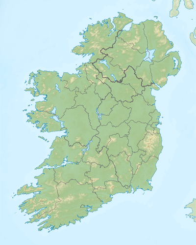 Location in Ireland | |
| Location | County Leitrim |
| Coordinates | 54°2′52″N 7°43′5″W / 54.04778°N 7.71806°WCoordinates: 54°2′52″N 7°43′5″W / 54.04778°N 7.71806°W |
| Primary inflows | Shannon–Erne Waterway |
| Primary outflows | Shannon–Erne Waterway |
| Catchment area | 183.91 km2 (71.0 sq mi) |
| Basin countries | Ireland |
| Max. width | 3 km (2 mi) |
| Surface area | 3.89 km2 (1.50 sq mi) |
| Average depth | 5 m (16 ft) |
| Max. depth | 20 m (66 ft) |
| Surface elevation | 49 m (161 ft) |
| Islands | 3 |
| References | [1][2][3] |
Garadice Lough (Irish: Loch Guth Ard Deas (meaning The South Lake of the High Voice),[4] [5] also known as Garadice Lake or Lough Garadice, is a freshwater lake in the northwest of Ireland. It is located in south County Leitrim and is now part of the Shannon–Erne Waterway.
Geography
Garadice Lough is located 8 kilometres (5 mi) east of Ballinamore.[2] It is about 3 km (2 mi) wide from west to east and covers an area of 3.89 square kilometres (1.5 sq mi).[1][6] The lake has three islands, two of which are named: Church Island and Cherry Island (Irish- Cloch-inse-na-dtorc).[6]
Hydrology
Garadice Lough now forms part of the Shannon–Erne Waterway. Its inflow was formerly named the Yellow River and the outflow was the Woodford River.[7]
Natural history
Fish present in Garadice Lough include tench, roach, bream and pike. Large pike have been caught here weighing 10 kg (22 lb) or more.[8]
History
The earliest surviving mention of the lake is in the 9th century Vita tripartita Sancti Patricii, in connection with the crossing of the lake by Saint Patrick on his way to destroy the idol Crom Cruach. In medieval times Garadice Lough was known as Lough Finvoy (Loch Finn Mhagh, meaning 'The Lake of the White Plain').[7] The lake is mentioned several times in the Irish Annals- Annals of the Four Masters 1386 and Annals of Connacht 1257 & 1418. In about 1257 the fortress "Cloch-inse-na-dtorc, in Lough Finvoy, was burned by O'Rourke" (a King of West Breifne).[9]
See also
References
- 1 2 "A Reference Based Typology and Ecological Assessment System for Irish Lakes" (PDF). Environmental Protection Agency (Ireland). 2006. p. 11. Retrieved 31 Jul 2015.
- 1 2 "Garadice Lake". Inland Fisheries Ireland. Retrieved 31 Jul 2015.
- ↑ "OSI Mapviewer". Ordnance Survey Ireland. Retrieved 31 Jul 2015.
- ↑
- ↑ Dalton, John P.: Cromm Cruaich of Magh Sleacht, in Proceedings of the Royal Irish Academy, Vol. XXXVI (1921-1924), Section C, pp.23-67.
- 1 2 Google (31 Jul 2015). "Garadice Lough" (Map). Google Maps. Google. Retrieved 31 Jul 2015.
- 1 2 Joyce, Patrick Weston (2007) [1883]. The Geography of the Counties of Ireland. p. 66, 127.
- ↑ "Lough Garadice" (PDF). Waterways Ireland. Retrieved 31 Jul 2015.
- ↑ Annals of the Four Masters, ed. & tr. John O'Donovan (1856). Annála Rioghachta Éireann. Annals of the Kingdom of Ireland by the Four Masters... with a Translation and Copious Notes. 7 vols (2nd ed.). Dublin: Royal Irish Academy. 1257.9 CELT editions. Full scans at Internet Archive: Vol. 1; Vol. 2; Vol. 3; Vol. 4; Vol. 5; Vol. 6; Indices.
| Wikimedia Commons has media related to Garadice Lough. |