León Airport (Nicaragua)
| León Airport Pista Aérea Fanor Urroz | |||||||||||
|---|---|---|---|---|---|---|---|---|---|---|---|
| IATA: none – ICAO: MNLN | |||||||||||
| Summary | |||||||||||
| Airport type | Public | ||||||||||
| Owner/Operator | Instituto Nicaragüense de Aeronáutica Civil | ||||||||||
| Location | León | ||||||||||
| Elevation AMSL | 328 ft / 100 m | ||||||||||
| Coordinates | 12°25′45″N 086°54′10″W / 12.42917°N 86.90278°WCoordinates: 12°25′45″N 086°54′10″W / 12.42917°N 86.90278°W | ||||||||||
| Map | |||||||||||
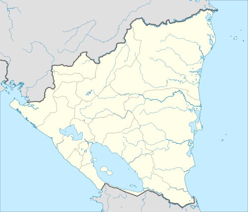 MNLN Location in Nicaragua | |||||||||||
| Runways | |||||||||||
| |||||||||||
León Airport (Spanish: Pista Aérea Fanor Urroz) (ICAO: MNLN) is an airfield located in León, Nicaragua.[1]
History
On December 1972, a few days after the Managua earthquake, the León Airport, also known as the Aeropuerto Godoy, was used for landing aircraft with supplies and aid for the earthquake victims.[2]
The airfield was attacked by the Sandinista guerrilla on April 27, 1979 during the final days of the insurrection against the Somoza regime.[3]
In the early 1980 the airstrip was used primarily by light aircraft for aerial fumigation. The airfield was renovated in 2010 by the Nicaraguan Civil Aeronautics Authority (INAC).[4][5]
References
- ↑ MNLN - Airport
- ↑ Historia de LaNica
- ↑ Revolución popular Julio 1979
- ↑ 30 Años de Revolución Aeronáutica
- ↑ Aeródromos de Occidente mejoran su seguridad aérea
This article is issued from Wikipedia - version of the 12/5/2016. The text is available under the Creative Commons Attribution/Share Alike but additional terms may apply for the media files.