Lambertville Historic District
|
Lambertville Historic District | |
 | |
 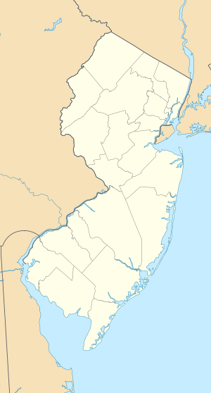  | |
| Location | NJ 29 and NJ 179, Lambertville, New Jersey |
|---|---|
| Coordinates | 40°21′58″N 74°56′34″W / 40.36611°N 74.94278°WCoordinates: 40°21′58″N 74°56′34″W / 40.36611°N 74.94278°W |
| Area | 198 acres (80 ha) |
| Built | 1812 |
| Architect | Multiple |
| Architectural style | Late Victorian, Federal |
| NRHP Reference # | 83001602[1] |
| NJRHP # | 1601[2] |
| Significant dates | |
| Added to NRHP | June 30, 1983 |
| Designated NJRHP | May 18, 1983 |
Lambertville Historic District, is located around the intersection of Route 29 and Route 179 in Lambertville, Hunterdon County, New Jersey, United States. The district was added to the National Register of Historic Places on June 30, 1983.[3]
History
A wooden bridge was constructed across the Delaware River in 1812 to connect Lambertville with New Hope, Pennsylvania. Bridge street was laid out to meet with the bridge. Many of Lambertville's oldest structures are located along Bridge street. A tavern on Bridge street called the Lambertville House was built by Captain John Lambert in 1812. The James W. Marshall House also on Bridge street was built in 1816. The Delaware and Raritan Canal was constructed in 1830. The Belvidere Delaware Railroad was built along the canal in 1851.[4]
Gallery of contributing properties
-

St. John the Evangelist Roman Catholic Church
-

Holcombe House, Washington's Headquarters
References
- ↑ National Park Service (2009-03-13). "National Register Information System". National Register of Historic Places. National Park Service.
- ↑ "New Jersey and National Registers of Historic Places - Hunterdon County" (PDF). New Jersey Department of Environmental Protection - Historic Preservation Office. April 1, 2010. p. 12. Retrieved October 15, 2010.
- ↑ Gibson, David; Bauer, Steven (June 30, 1983). "NRHP Nomination: Lambertville Historic District" (PDF). National Park Service. "Accompanying 29 photos, from 1983." (PDF).
- ↑ "A BRIEF HISTORY OF LAMBERTVILLE". Lambertville Historical Society. Retrieved 18 October 2010.
External links
- Historic American Buildings Survey (HABS) No. HABS NJ-56, "Holcombe House, Lambertville, Hunterdon County, NJ", 2 photos, 4 data pages, supplemental material
| Topics |  | ||
|---|---|---|---|
| Lists by county | |||
| Lists by city |
| ||
| Other lists | |||
| |||