La Rochepot
| La Rochepot | |
|---|---|
 | |
 La Rochepot | |
|
Location within Bourgogne-Franche-Comté region  La Rochepot | |
| Coordinates: 46°57′32″N 4°40′47″E / 46.9589°N 4.6797°ECoordinates: 46°57′32″N 4°40′47″E / 46.9589°N 4.6797°E | |
| Country | France |
| Region | Bourgogne-Franche-Comté |
| Department | Côte-d'Or |
| Arrondissement | Beaune |
| Canton | Nolay |
| Intercommunality | Beaune Côte et Sud |
| Government | |
| • Mayor (2008–2014) | Jérôme Billard |
| Area1 | 13.91 km2 (5.37 sq mi) |
| Population (2008)2 | 280 |
| • Density | 20/km2 (52/sq mi) |
| Time zone | CET (UTC+1) |
| • Summer (DST) | CEST (UTC+2) |
| INSEE/Postal code | 21527 / 21340 |
| Elevation | 324–561 m (1,063–1,841 ft) |
|
1 French Land Register data, which excludes lakes, ponds, glaciers > 1 km² (0.386 sq mi or 247 acres) and river estuaries. 2 Population without double counting: residents of multiple communes (e.g., students and military personnel) only counted once. | |

La Rochepot is a commune in the Côte-d'Or department in Bourgogne in eastern France.
It has a hillside chateau on the D973 road between Beaune and Nolay on the way to Saisy.
Population
| Historical population | ||
|---|---|---|
| Year | Pop. | ±% |
| 1962 | 263 | — |
| 1968 | 275 | +4.6% |
| 1975 | 258 | −6.2% |
| 1982 | 272 | +5.4% |
| 1990 | 241 | −11.4% |
| 1999 | 260 | +7.9% |
| 2008 | 280 | +7.7% |
See also
References
 The Chateau
 The Chateau Roof
 The Chateau
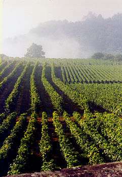 The Vines
 The Chateau
External links
| Wikimedia Commons has media related to La Rochepot. |
This article is issued from Wikipedia - version of the 12/1/2014. The text is available under the Creative Commons Attribution/Share Alike but additional terms may apply for the media files.