La Patrie, Quebec
| La Patrie | |
|---|---|
| Municipality | |
 | |
 Location within Le Haut-Saint-François RCM. | |
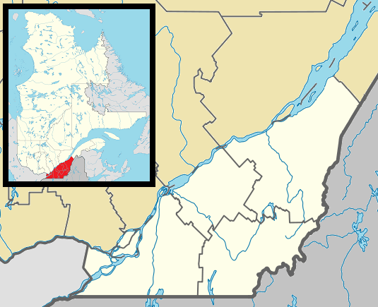 La Patrie Location in southern Quebec. | |
| Coordinates: 45°24′N 71°15′W / 45.400°N 71.250°WCoordinates: 45°24′N 71°15′W / 45.400°N 71.250°W[1] | |
| Country |
|
| Province |
|
| Region | Estrie |
| RCM | Le Haut-Saint-François |
| Constituted | December 24, 1997 |
| Government[2] | |
| • Mayor | Jacques Blais |
| • Federal riding | Compton—Stanstead |
| • Prov. riding | Mégantic |
| Area[2][3] | |
| • Total | 206.70 km2 (79.81 sq mi) |
| • Land | 205.82 km2 (79.47 sq mi) |
| Population (2011)[3] | |
| • Total | 749 |
| • Density | 3.6/km2 (9/sq mi) |
| • Pop 2006-2011 |
|
| Time zone | EST (UTC−5) |
| • Summer (DST) | EDT (UTC−4) |
| Postal code(s) | J0B 1Y0 |
| Area code(s) | 819 |
| Highways |
|
| Website |
www |
La Patrie is a municipality of about 750 people in Le Haut-Saint-François Regional County Municipality, in Quebec, Canada. It is located at the base of Mont Mégantic.
Some industries specializing in the field of forestry have settled in La Patrie. Notably, the company Guitabec which produces guitars under the label Godin has a manufacturing facility in La Patrie.
Light pollution
Participating in a program initiated and established by the Mont-Mégantic National Park in collaboration with Hydro-Québec, the village of La Patrie has greatly reduced its light pollution, which strongly affects the Mont Mégantic Observatory.
References
External links
-
 Media related to La Patrie at Wikimedia Commons
 |
Hampden | Val-Racine | | |
| Newport | |
Notre-Dame-des-Bois | ||
| ||||
| | ||||
| Chartierville |
| Cities & Towns | |
|---|---|
| Municipalities | |
| Townships | |
| |
This article is issued from Wikipedia - version of the 12/10/2015. The text is available under the Creative Commons Attribution/Share Alike but additional terms may apply for the media files.