Kalopanagiotis
| Kalopanagiotis Καλοπαναγιώτης | |
|---|---|
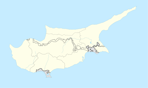 Kalopanagiotis Location in Cyprus | |
| Coordinates: 34°59′31″N 32°49′45″E / 34.99194°N 32.82917°ECoordinates: 34°59′31″N 32°49′45″E / 34.99194°N 32.82917°E | |
| Country |
|
| District | Nicosia District |
| Population (2001)[1] | |
| • Total | 287 |
| Time zone | EET (UTC+2) |
| • Summer (DST) | EEST (UTC+3) |
| Website | http://www.kalopanayiotis.com/ |
Kalopanagiotis (Greek: Καλοπαναγιώτης) is a village in the Nicosia District of Cyprus, located 3 km north of Moutoullas. This picturesque village with its traditional architecture, its cobbled streets and footpaths, chapels and churches, is an example of a genuine traditional community unaffected by modern day civilization. Houses with tiled rooftops, picturesque balconies, courtyards with shady vine trees climbing everywhere are the main characteristics of the village. All these are surrounded by the lavish green vegetation of the Setrachos Valley.
In the village there are many churches and chapels such as the churches of Saint Marina and PanayiaTheotokos, the Chapels of Saint Andronikos and Saint Athanasia, Saint George, Saint Kyriakos, Archangelos Michael, Saint Sergios and Bachos and Panayia Theoskepasti.
However, the most important Byzantine monuments are that of the monastery of Saint John Lampadisitis, and the Kykkos watermill.

