Kabbur
| Kabbur | |
|---|---|
| village | |
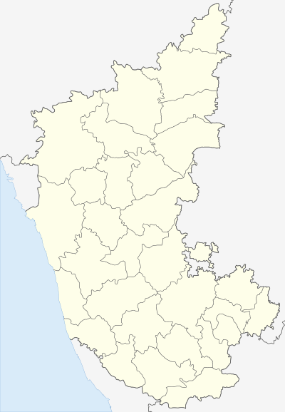 Kabbur  Kabbur Location in Karnataka, India | |
| Coordinates: 16°25′N 74°35′E / 16.42°N 74.58°ECoordinates: 16°25′N 74°35′E / 16.42°N 74.58°E | |
| Country |
|
| State | Karnataka |
| District | Belgaum |
| Talukas | Chikodi |
| Population (2001) | |
| • Total | 9,204 |
| Languages | |
| • Official | Kannada |
| Time zone | IST (UTC+5:30) |
Kabbur is a village in the southern state of Karnataka, India.[1][2] It is located in the Chikodi taluk of Belgaum district in Karnataka.
Demographics
Kabbur had a 2059 families residing. The Kabbur village has population of 10949 of which 5543 are males while 5406 are females as per Population Census 2011.
In Kabbur village population of children with age 0-6 is 1800 which makes up 16.44% of total population of village. Average Sex Ratio of Kabbur village is 975 which is higher than Karnataka state average of 973. Child Sex Ratio for the Kabbur as per census is 978, higher than Karnataka average of 948.
Kabbur village has lower literacy rate compared to Karnataka. In 2011, literacy rate of Kabbur village was 65.79% compared to 75.36% of Karnataka. In Kabbur Male literacy stands at 74.21% while female literacy rate was 57.15%.
As per constitution of India and Panchyati Raaj Act, Kabbur village is administrated by Sarpanch (Head of Village) who is elected representative of village. It is located 20 km from Chikkodi. Famous for Sugarcane. Name of this village derived from an inscription found in kalmeshwar temple which is mentioned as "piriyara agrahara karaburu" which is modified into present kabbur . It has more than 25 temples and at least once in month there will be a fair(jatre). It is also famous for Datti Kunitha and Mallkamba.
How to Reach Kabbur
Kabbur
By Road (Driving)
Chikodi is the Nearest Town to Kabbur. Chikodi is 20 km from Kabbur. Road connectivity is there from Chikodi to Kabbur.
By Train
Chikodi Road Rail Way Station, Bagewadi Rail Way Station are the very nearby railway stations to Kabbur. How ever Sangli Rail Way Station is major railway station 65 km near to Kabbur
Nearby Railway Stations
Chikodi Road- 4 km Bagewadi- 5 km Ghatprabha- 14 km Raybag- 17 km
Places to Visit
Kolhapur- 74 km Panhala- 93 km Amboli- 99 km Nersa- 101 km Dajipur Wildlife Sanctuary- 104 km
Kabbur Nearby Places
Few nearby places of Kabbur are listed below for your reference:
Cities
Gokak- 24 km Mudalgi- 28 km Sankeshwar- 31 km Sadalgi- 34 km
Taluks
Raybag- 17 km Chikodi- 19 km Hukeri- 21 km Gokak- 24 km
Airports
Kolhapur Airport- 61 km Sambre Airport- 62 km Hubli Airport- 130 km Dabolim Airport- 160 km
District Headquarters
Belgaum- 62 km Sangli- 65 km Kolhapur- 72 km Bagalkot- 115 km
See also
References
- 1 2 Village code= 12600 "Census of India : Villages with population 5000 & above". Registrar General & Census Commissioner, India. Retrieved 2008-12-18.
- ↑ "Yahoomaps India : Kabbur, Belgaum, Karnataka". Retrieved 2008-12-18.
3. http://www.onefivenine.com/india/villages/Belgaum/Chikodi/Kabbur
