Jerseydale, California
| Jerseydale | |
|---|---|
| Unincorporated community | |
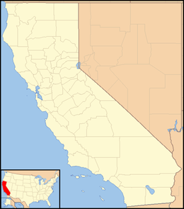 Jerseydale  Jerseydale Location in California | |
| Coordinates: 37°33′49″N 119°51′27″W / 37.56361°N 119.85750°WCoordinates: 37°33′49″N 119°51′27″W / 37.56361°N 119.85750°W | |
| Country | United States |
| State | California |
| County | Mariposa County |
| Elevation[1] | 3,779 ft (1,152 m) |
Jerseydale is an unincorporated community in Mariposa County, California.[1] It is located 9 miles (14 km) south-southwest of El Portal,[2] at an elevation of 3779 feet (1152 m).[1]
A post office operated at Jerseydale from 1889 to 1930.[2]
References
Municipalities and communities of Mariposa County, California, United States | ||
|---|---|---|
| CDPs |  | |
| Unincorporated communities | ||
| Former settlements | ||
This article is issued from Wikipedia - version of the 7/5/2016. The text is available under the Creative Commons Attribution/Share Alike but additional terms may apply for the media files.