Jach'a Jipiña
| Jach'a Jipiña | |
|---|---|
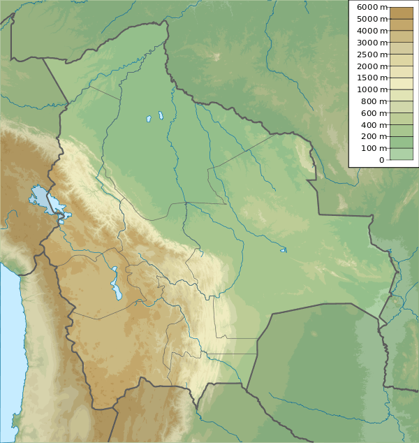 Jach'a Jipiña Location in Bolivia | |
| Highest point | |
| Elevation | 4,950 m (16,240 ft) [1] |
| Coordinates | 16°11′55″S 68°17′21″W / 16.19861°S 68.28917°WCoordinates: 16°11′55″S 68°17′21″W / 16.19861°S 68.28917°W |
| Geography | |
| Location |
Bolivia, La Paz Department, Los Andes Province, Pucarani |
| Parent range | Andes, Cordillera Real |
Jach'a Jipiña (Aymara jach'a big, jipiña squatting of animals,[2] 'big place where the animals crouch' or 'big resting place of animals', Hispanicized spelling Jachcha Jipina) is a 4,950-metre-high (16,240 ft) mountain in the Cordillera Real in the Andes of Bolivia. It is situated in the La Paz Department, Los Andes Province, Pucarani Municipality. Jach'a Jipiña lies south-west of the lake Juri Quta.[1][3]
See also
References
- 1 2 Bolivian IGM map 1:50,000 Peñas 5945-III
- ↑ Radio San Gabriel, "Instituto Radiofonico de Promoción Aymara" (IRPA) 1993, Republicado por Instituto de las Lenguas y Literaturas Andinas-Amazónicas (ILLLA-A) 2011, Transcripción del Vocabulario de la Lengua Aymara, P. Ludovico Bertonio 1612 (Spanish-Aymara-Aymara-Spanish dictionary)
- ↑ "Pucarani". INE, Bolivia. Archived from the original on October 29, 2014. Retrieved September 10, 2014. (unnamed)
This article is issued from Wikipedia - version of the 7/21/2016. The text is available under the Creative Commons Attribution/Share Alike but additional terms may apply for the media files.