Ingøy
| Ingøy | |
|---|---|
| Village | |
 Ingøy 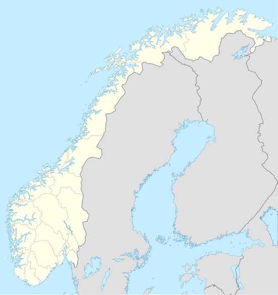 Ingøy Location in Finnmark | |
| Coordinates: 71°05′03″N 24°03′29″E / 71.08417°N 24.05806°ECoordinates: 71°05′03″N 24°03′29″E / 71.08417°N 24.05806°E | |
| Country | Norway |
| Region | Northern Norway |
| County | Finnmark |
| District | Vest-Finnmark |
| Municipality | Måsøy |
| Elevation[1] | 4 m (13 ft) |
| Time zone | CET (UTC+01:00) |
| • Summer (DST) | CEST (UTC+02:00) |
| Post Code | 9672 Ingøy |
Ingøy or Inga is a small fishing village on the island of Ingøya in Måsøy Municipality, Finnmark county, Norway. The village lies on the northern coast of Ingøya, facing the open Arctic Ocean. Ingøy lies about 60 kilometres (37 mi) west of North Cape and it is only accessible by boat from Havøysund. Ingøy Church is located in the village.[2]
The Ingøy radio transmitter is located about 2 kilometres (1.2 mi) south of Ingøy. The mast of the longwave transmitter is the tallest structure in Norway and in all of Scandinavia. There is a fish processing plant in Ingøy called Ingøy Fisk that is one of the main employers in the area.
The village of Ingøy dates back to the 14th century, perhaps earlier. Around 1520, there were about 300 residents living in the village. During the 17th century, the population declined dramatically and it has stayed sparsely populated since that time. During the fishing seasons, however, the population would increase temporarily.[3]
References
- ↑ "Ingøy, Måsøy" (in Norwegian). yr.no. Retrieved 2013-02-04.
- ↑ Store norske leksikon. "Ingøy" (in Norwegian). Retrieved 2013-02-04.
- ↑ "Ingøya" (in Norwegian). Måsøy kommune. Retrieved 2013-02-04.
External links
- Information and pictures from Ingøy
- Page maintained by people living on Ingøy
- Page describing LW station on Ingøy
