Half Acre, Alabama
| Half Acre, Alabama | |
|---|---|
| Unincorporated community | |
| Nickname(s): Hell's Half Acre | |
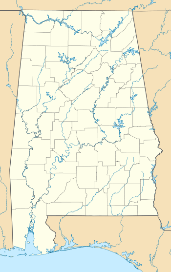 Half Acre, Alabama  Half Acre, Alabama Location within the state of Alabama | |
| Coordinates: 32°11′42″N 87°54′43.2″W / 32.19500°N 87.912000°W | |
| Country | United States |
| State | Alabama |
| County | Marengo |
| Elevation | 115 ft (35 m) |
| Time zone | Central (CST) (UTC-6) |
| • Summer (DST) | CDT (UTC-5) |
| Area code(s) | 334 |
Half Acre is an unincorporated community in Marengo County, Alabama, United States.[1] It has gone through a variety of name changes since the early 20th century. The community had a post office at one time, but it no longer exists.[2] Although a thriving community in its early years, it has since dwindled into obscurity.
History
Half Acre was originally known as Luther's Store[1] and was settled in the 1830s. By 1870 it had a post office, three general stores, a cotton gin, a cotton seed-oil press, grist mill, saw mill, brick kiln, hotel, and livery stables.
The tradition of how the Half Acre name originated holds that a half-acre piece of property in the community, at a crossroads next door to the hotel, had been overlooked in the original survey. County land records indicate that when the small piece of property was discovered to not be surveyed, it was deeded to "The Devil" and then became known as Hell's Half Acre.[1][3][4][5] A saloon was eventually built there, only to later burn down. The title to the property was not clarified until the community wanted to build a church on the site of the former saloon, at which time the probate court transferred ownership from "The Devil" to the Half Acre Community Church. The "Hell's" was dropped from the name at this time and the entire community came to be known simply as Half Acre. The population of the community began to relocate elsewhere after World War II and today it is home to only the church and a few residences.[4]
Geography
Half Acre is situated above Beaver Creek, about 4 miles (6.4 km) east of the Tombigbee River. It is located at 32°11′42″N 87°54′43″W / 32.195°N 87.912°WCoordinates: 32°11′42″N 87°54′43″W / 32.195°N 87.912°W and has an elevation of 115 feet (35 m).[1]
References
- 1 2 3 4 U.S. Geological Survey Geographic Names Information System: Half Acre
- ↑ U.S. Geological Survey Geographic Names Information System: Half Acre Post Office (Historical)
- ↑ Jones, Joel D. (12 October 2006). "Settlers establish Vineland, Surginer, Moore's Valley". The Democrat-Reporter. p. 2. Retrieved 23 April 2015.
- 1 2 Marengo County Heritage Book Committee (2000). The heritage of Marengo County, Alabama. Clanton, Alabama: Heritage Publishing Consultants. pp. 6–7. ISBN 1-891647-58-X.
- ↑ Harris, Stuart (1984). Alabama place names. Huntsville, Alabama: University of Alabama Press. p. 20.
