Goldberg, Germany
| Goldberg | ||
|---|---|---|
|
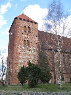
Church | ||
| ||
 Goldberg | ||
Location of Goldberg within Ludwigslust-Parchim district _in_LUP.svg.png) | ||
| Coordinates: 53°34′N 12°04′E / 53.567°N 12.067°ECoordinates: 53°34′N 12°04′E / 53.567°N 12.067°E | ||
| Country | Germany | |
| State | Mecklenburg-Vorpommern | |
| District | Ludwigslust-Parchim | |
| Municipal assoc. | Goldberg-Mildenitz | |
| Government | ||
| • Mayor | Peer Grützmacher | |
| Area | ||
| • Total | 64.85 km2 (25.04 sq mi) | |
| Population (2015-12-31)[1] | ||
| • Total | 3,683 | |
| • Density | 57/km2 (150/sq mi) | |
| Time zone | CET/CEST (UTC+1/+2) | |
| Postal codes | 19399 | |
| Dialling codes | 038736 | |
| Vehicle registration | PCH | |
| Website | http://www.amt-mildenitz.de/ | |


Town hall
Goldberg
Goldberg is a town in the Ludwigslust-Parchim district, in Mecklenburg-Western Pomerania, Germany. It is situated 24 km northeast of Parchim, and 46 km east of Schwerin.
History
Goldberg owes its origin and name to a gold mine in the neighbourhood, which, however, has been wholly abandoned since the time of the Hussite wars. The town obtained civic rights in 1211. It suffered heavily from the Tatars in 1241, from the plague in 1334, from the Hussites in 1428, and from the Saxon, Imperial and Swedish forces during the Thirty Years' War. On the 27th of May 1813 a battle took place near it between the French and the Russians; and on the 23rd and the 27th of August of the same year fights between the allies and the French.[2]
Sons and daughters of the town
- Peter Larisch (born 1950), handball player
Connected to Goldberg
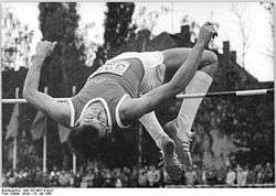
Gerd Wessig in 1980
- Gerd Wessig (born 1959 in Lübz), Olympian winner and world record holder (2,36 m) in the jump, grew up in Goldberg and went to school there
References
- ↑ "Bevölkerungsstand der Kreise, Ämter und Gemeinden in Mecklenburg-Vorpommern 31.12.2015". Statistisches Amt Mecklenburg-Vorpommern (in German). July 2016.
- ↑
 This article incorporates text from a publication now in the public domain: Chisholm, Hugh, ed. (1911). "Goldberg". Encyclopædia Britannica (11th ed.). Cambridge University Press.
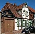
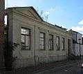
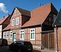
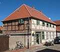
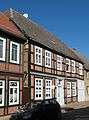
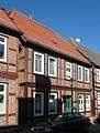
Gallery
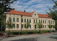
School building
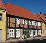
- Jungfernstraße
-

-
-
-
-
-
-
This article is issued from Wikipedia - version of the 11/22/2016. The text is available under the Creative Commons Attribution/Share Alike but additional terms may apply for the media files.