Freezywater
Coordinates: 51°40′33″N 0°01′50″W / 51.6759°N 0.0306°W
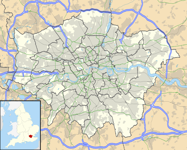
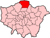
Freezywater is a place in the London Borough of Enfield, north London. It is located between Bullsmoor to the west, Enfield Lock to the east, Enfield Wash to the south, and Waltham Cross to the north. It is contiguous with Waltham Cross, even though the two are divided by the M25 motorway and the boundary between Greater London and Hertfordshire.[1]
Freezywater occupies an area to either side of the Hertford Road from its junction with Ordnance Road in the south to Bullsmoor Lane and the Holmesdale Tunnel overpass in the north, and includes an area westwards towards the Liverpool Street-Cheshunt railway line.
Etymology
First recorded as Freezywater (1768) and Freezy Water (1819); originally a name of a pond here, so called from its bleak and exposed situation.[2]
Local history
Originally a farm stood in this area in the 18th century, called Freezy Water Farm and the area was later named accordingly.[3] During World War II Chesterfield School was hit by a V1 flying bomb aimed for the Royal Small Arms Factory, approximately 1.5 miles due east of the school. There was only one fatality within the school grounds, a teacher looking for her school children.[4]
The church of St George, a large red-brick gothic building designed by JEK and JP Cutts, was built between 1900 and 1906. A planned tower was never constructed. It replaced a temporary iron church on a site next to it which remained in use as a church hall for many years.[5]
Nearest railway stations
Politics
- Freezywater falls within the Enfield North parliamentary constituency. The present MP is Joan Ryan, Labour Party.
Schools
- Primary schools: Chesterfield Infant School, Chesterfield Junior School, Freezywater St George's Primary School (Church of England), Honilands School
- Secondary school: Lea Valley High School (formerly Bullsmoor Secondary school)
Open spaces
- Cunningham Park 51°40′42″N 0°01′52″W / 51.6783°N 0.031°W
References
- ↑ http://www.enfield.gov.uk/362/Turkey%20Street.pdf Local Government Boundaries Map
- ↑ Mills, A. D. Oxford Dictionary of London Place Names (2001) p.85 ISBN 0-19-860957-4 Retrieved 22 October2008
- ↑ http://www.british-history.ac.uk/report.asp?compid=26949 british-history.ac.uk
- ↑ http://www.bbc.co.uk/ww2peopleswar/stories/40/a7597740.shtml bbc.co.uk
- ↑ T F T Baker, R B Pugh (Editors), A P Baggs, Diane K Bolton, Eileen P Scarff, G C Tyack (1976). "Enfield: Churches". A History of the County of Middlesex: Volume 5: Hendon, Kingsbury, Great Stanmore, Little Stanmore, Edmonton Enfield, Monken Hadley, South Mimms, Tottenham. Institute of Historical Research. Retrieved 27 June 2011.
- "The day my school was bombed". 2005. Retrieved 2006-12-29.
- Baker, T.F.T. (1976). "A History of the County of Middlesex. Volume V". Boydell & Brewer Ltd. Retrieved 2006-12-29.
| Districts |
|  |
|---|---|---|
| Attractions | ||
| Parks and open spaces | ||
| Constituencies | ||
| Tube and rail stations | ||
| Other topics | ||
