Delano, Tennessee
| Delano, Tennessee | |
|---|---|
| Unincorporated community | |
 Delano, Tennessee  Delano, Tennessee | |
| Coordinates: 35°15′54″N 84°33′12″W / 35.26500°N 84.55333°WCoordinates: 35°15′54″N 84°33′12″W / 35.26500°N 84.55333°W | |
| Country | United States |
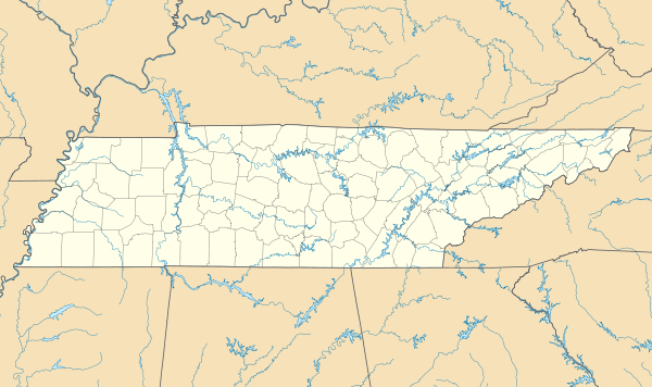
| State | Tennessee |
| County | Polk |
| Elevation | 784 ft (239 m) |
| Time zone | Eastern (EST) (UTC-5) |
| • Summer (DST) | EDT (UTC-4) |
| ZIP code | 37325 |
| Area code(s) | 423 |
| GNIS feature ID | 1328046[1] |
Delano is an unincorporated community in Polk County, Tennessee, United States. Delano is located near the junction of U.S. Route 411, Tennessee State Route 30, and Tennessee State Route 163 4.3 miles (6.9 km) south-southwest of Etowah.[2] Delano has a post office with ZIP code 37325, which opened on August 14, 1909.[3][4]
Delano had a Population of 1,561 in 2000. It is home to an Old Order Mennonite community, which operates a popular produce market. The Mennonites are under the oversight of the Noah Hoover Old Order Mennonites of Scottsville, Kentucky.[5]
References
- ↑ "Delano". Geographic Names Information System. United States Geological Survey.
- ↑ Polk County, Tennessee General Highway Map (PDF) (Map). Tennessee Department of Transportation. 2004. Retrieved March 16, 2012.
- ↑ United States Postal Service (2012). "USPS - Look Up a ZIP Code". Retrieved 2012-02-15.
- ↑ "Postmaster Finder - Post Offices by ZIP Code". United States Postal Service. Retrieved March 16, 2012.
- ↑ Paul Leach, "Market Offers 'Safe and Responsible' Crops," Chattanooga Times Free Press, 30 June 2010. Retrieved: 30 October 2013.
Municipalities and communities of Polk County, Tennessee, United States | ||
|---|---|---|
| Cities | ||
| Town | ||
| Unincorporated communities | ||
This article is issued from Wikipedia - version of the 7/31/2016. The text is available under the Creative Commons Attribution/Share Alike but additional terms may apply for the media files.