Cottonwood Mountains (Inyo County)
| Cottonwood Mountains | |
|---|---|
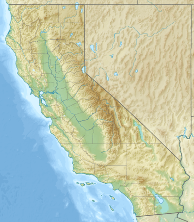  location of Cottonwood Mountains in California [1] | |
| Highest point | |
| Elevation | 2,729 m (8,953 ft) |
| Geography | |
| Country | United States |
| State | California |
| District | Inyo County |
| Range coordinates | 36°27′44″N 117°19′38″W / 36.4622°N 117.3273°WCoordinates: 36°27′44″N 117°19′38″W / 36.4622°N 117.3273°W |
| Topo map | USGS Panamint Butte |
The Cottonwood Mountains range is found in Death Valley National Park in Inyo County, California, U.S.
The range lies just to the northwest of the Panamint Mountains at the top of Death Valley, and run in a north-south direction.
Tin Mountain, at the northern end of the range, reaches an elevation of 2,729 meters. At the southern end of the range is Towne Pass, at 1,511 meters. The Last Chance Range are to the east.
See also
There is another small range with the same name east of Indio, California.
References
- ↑ "Cottonwood Mountains". Geographic Names Information System. United States Geological Survey. Retrieved 2009-05-04.
- Allan, Stuart (2005). California Road and Recreation Atlas. Benchmark Maps. p. 88. ISBN 0-929591-80-1.
This article is issued from Wikipedia - version of the 8/5/2016. The text is available under the Creative Commons Attribution/Share Alike but additional terms may apply for the media files.