Corral, Idaho
| Corral | |
|---|---|
| Unincorporated community | |
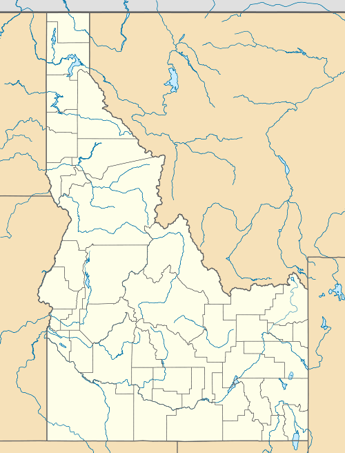 Corral Location within the state of Idaho | |
| Coordinates: 43°20′39″N 114°56′57″W / 43.34417°N 114.94917°WCoordinates: 43°20′39″N 114°56′57″W / 43.34417°N 114.94917°W | |
| Country | United States |
| State | Idaho |
| County | Camas |
| Elevation | 5,098 ft (1,554 m) |
| Time zone | Mountain (MST) (UTC-7) |
| • Summer (DST) | MDT (UTC-6) |
| ZIP codes | 83322 |
| GNIS feature ID | 372129[1] |
Corral is an unincorporated community in southwestern Camas County, Idaho, United States. It lies along U.S. Route 20 west of the city of Fairfield, the county seat of Camas County.[2] Its elevation is 5,098 feet (1,554 m).[1] Although Corral is unincorporated, it has a post office, with the ZIP code of 83322.[3]
Climate
This climatic region is typified by large seasonal temperature differences, with warm to hot (and often humid) summers and cold (sometimes severely cold) winters. According to the Köppen Climate Classification system, Corral has a humid continental climate, abbreviated "Dfb" on climate maps.[4]
References
- 1 2 "Corral, Idaho". Geographic Names Information System. United States Geological Survey.
- ↑ Rand McNally. The Road Atlas '08. Chicago: Rand McNally, 2008, p. 31.
- ↑ Zip Code Lookup
- ↑ Climate Summary for Corral, Idaho
Municipalities and communities of Camas County, Idaho, United States | ||
|---|---|---|
| City | ||
| Unincorporated communities | ||
This article is issued from Wikipedia - version of the 1/5/2016. The text is available under the Creative Commons Attribution/Share Alike but additional terms may apply for the media files.