Cleridge
|
Cleridge | |
|
Cleridge in 2016 | |
   | |
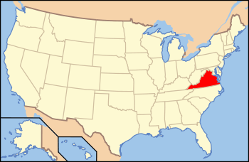
| Location | 1649 Old Charles Town Rd., near Stephenson, Virginia |
|---|---|
| Coordinates | 39°00′37″N 77°21′34″W / 39.01028°N 77.35944°WCoordinates: 39°00′37″N 77°21′34″W / 39.01028°N 77.35944°W |
| Area | 591 acres (239 ha) |
| Built | c. 1790, c. 1815, 1882-1883 |
| Built by | Lemley, Jacob H., & sons Charlie & William |
| Architectural style | Federal |
| NRHP Reference # | 11000653[1] |
| VLR # | 029-0115 |
| Significant dates | |
| Added to NRHP | September 8, 2011 |
| Designated VLR | December 13, 2012[2] |

Cleridge, also known as Sunnyside Farm, is a historic home and farm complex located near Stephenson, Clarke County, Virginia. The main house was built about 1790, and is a 2 1/2-story, five bay, Federal style brick dwelling. It has a 2 1/2-story, four bay, brick addition added in 1882-1883. Also on the property are the contributing brick well structure, the frame icehouse/blacksmith shop, a frame carriage house, the brick-entry, a frame poultry house, and a farm manager’s house (c. 1815). The cultivated and forested land is considered a contributing agricultural site.[3]
It was listed on the National Register of Historic Places in 2011.[1]
References
- 1 2 "National Register of Historic Places Listings". Weekly List of Actions Taken on Properties: 9/06/11 through 9/09/11. National Park Service. 2011-09-16.
- ↑ "Virginia Landmarks Register". Virginia Department of Historic Resources. Retrieved 5 June 2013.
- ↑ Cheryl H. Shepherd (February–March 2011). "National Register of Historic Places Inventory/Nomination: Cleridge" (PDF). Virginia Department of Historic Resources.

This article is issued from Wikipedia - version of the 11/30/2016. The text is available under the Creative Commons Attribution/Share Alike but additional terms may apply for the media files.