Castle Crag (Tasmania)
For other uses, see Castle Crag.
| Castle Crag | |
|---|---|
| Falling Mountain[1] | |
 | |
| Highest point | |
| Elevation | 1,482 m (4,862 ft) |
| Listing | 20th highest mountain in Tasmania |
| Coordinates | 41°54′36″S 146°05′24″E / 41.91000°S 146.09000°ECoordinates: 41°54′36″S 146°05′24″E / 41.91000°S 146.09000°E [2] |
| Geography | |
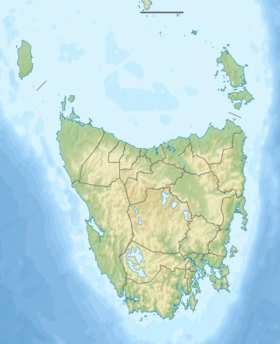 Castle Crag Location in Tasmania | |
| Location | Central Highlands, Tasmania, Australia |
| Parent range | Du Cane |
| Geology | |
| Age of rock | Jurassic |
| Mountain type | Dolerite |
The Castle Crag, also known as the Falling Mountain,[1] is a mountain in the Central Highlands region of Tasmania, Australia. The mountain is part of the Du Cane Range and is situated within the Cradle Mountain-Lake St Clair National Park. The mountain is a major feature of the national park and is a popular venue with bush walkers and mountain climbers.
With an elevation of 1,482 metres (4,862 ft) above sea level, the mountain is the twentieth highest mountain in Tasmania.
See also
References
- 1 2 "Map of Falling Mountain, TAS". Bonzle Digital Atlas of Australia. Retrieved 8 June 2015.
- ↑ "Castle Crag (TAS)". Gazetteer of Australia online. Geoscience Australia, Australian Government.
External links
This article is issued from Wikipedia - version of the 8/1/2015. The text is available under the Creative Commons Attribution/Share Alike but additional terms may apply for the media files.