Carlsbad, Texas
| Carlsbad | |
|---|---|
| Unincorporated community & census-designated place | |
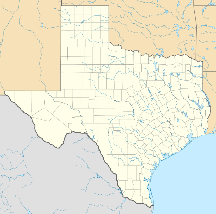 Carlsbad  Carlsbad Location within the state of Texas | |
| Coordinates: 31°36′20″N 100°38′36″W / 31.60556°N 100.64333°WCoordinates: 31°36′20″N 100°38′36″W / 31.60556°N 100.64333°W | |
| Country | United States |
| State | Texas |
| County | Tom Green |
| Elevation | 2,024 ft (617 m) |
| Time zone | Central (CST) (UTC-6) |
| • Summer (DST) | CDT (UTC-5) |
| ZIP codes | 76934 |
| GNIS feature ID | 1353826 |
Carlsbad is a census-designated place and unincorporated community in northwest Tom Green County, Texas, United States. It lies along U.S. Route 87 northwest of the city of San Angelo, the county seat of Tom Green County.[1] Its elevation is 2,024 feet (617 m).[2] Although Carlsbad is unincorporated, it has a post office, with the ZIP code of 76934;[3] the ZCTA for ZIP Code 76934 had a population of 1,332 at the 2000 census.[4]
Located along the North Concho River, Carlsbad was founded in 1907 under the name of Hughes. When the Post Office required the community to be renamed, residents chose the name of the spa town of Karlsbad in Bohemia, after local wells were discovered to yield mineral water.[5]
References
- ↑ Rand McNally. The Road Atlas '08. Chicago: Rand McNally, 2008, p. 99.
- ↑ U.S. Geological Survey Geographic Names Information System: Carlsbad, Texas
- ↑ Zip Code Lookup Archived June 15, 2011, at the Wayback Machine.
- ↑ "American FactFinder". United States Census Bureau. Archived from the original on 2013-09-11. Retrieved 2008-01-31.
- ↑ Carlsbad, Texas, Handbook of Texas Online, 2008-01-17. Accessed 2008-08-17.
External links
Municipalities and communities of Tom Green County, Texas, United States | ||
|---|---|---|
| City |  | |
| CDPs | ||
| Other unincorporated communities | ||
| Ghost town | ||
This article is issued from Wikipedia - version of the 11/18/2016. The text is available under the Creative Commons Attribution/Share Alike but additional terms may apply for the media files.