Cape Flattery (Queensland)
| Cape Flattery | |
|---|---|
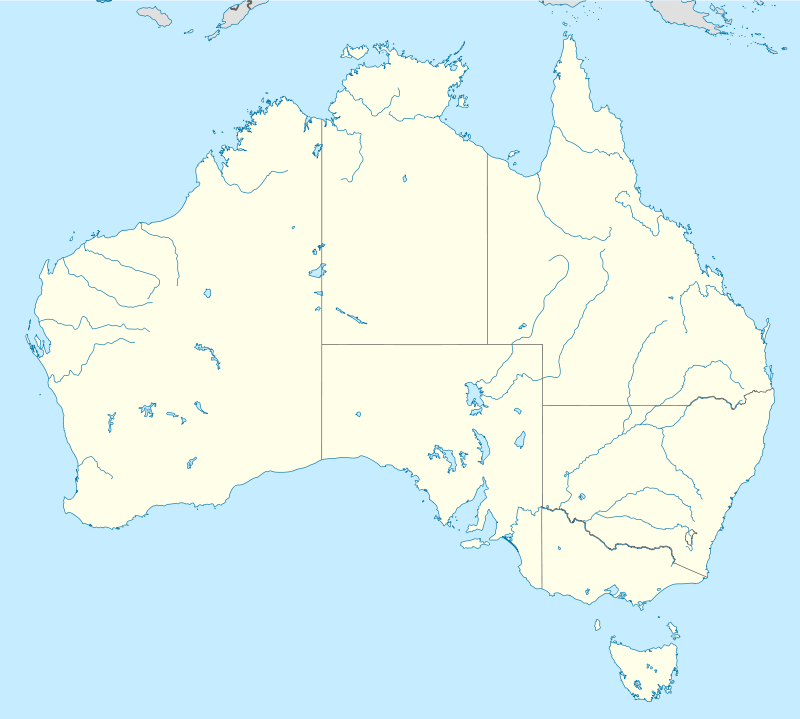 Location in Australia | |
| Location | Cape York Peninsula, Australia |
| Coordinates | 14°59′00″S 145°21′00″E / 14.98333°S 145.35000°ECoordinates: 14°59′00″S 145°21′00″E / 14.98333°S 145.35000°E |
| Offshore water bodies | Coral Sea |
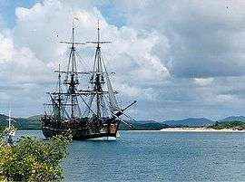
Cape Flattery is a cape in northern Queensland approximately 40 kilometres (25 mi) north of Cooktown, Queensland. The headland was named by James Cook on 10 August 1770 as he charted the eastern Australian coast.
Silica mine
Cape Flattery is the location of the world's biggest silica mine.[1] The mine was established in 1967 and was severely damaged by Cyclone Ita in 2014.
The cape's local port is used for the shipping of silica sand from a local subsidiary of Mitsubishi Corporation, and exports the most silica sand internationally, with 1.7 million tonnes exported alone in 2007–08.[2]
References
- ↑ Tony Moore (14 April 2014). "'World's biggest' silica mine damaged by Cyclone Ita". Brisbane Times. Fairfax Media. Retrieved 2 June 2014.
- ↑ "Port Procedures and Information for Shipping – Cape Flattery, Section 1 – Introduction" (PDF). Queensland Government. Maritime Safety Queensland. Retrieved 12 February 2014.
This article is issued from Wikipedia - version of the 7/27/2016. The text is available under the Creative Commons Attribution/Share Alike but additional terms may apply for the media files.