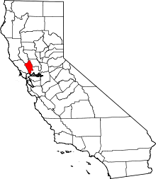
California Historical Landmarks in Napa County, California
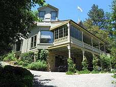
List table of the properties and districts — listed on the California Historical Landmarks — within Napa County, California.
- Note: Click the "Map of all coordinates" link to the right to view a Google map of all properties and districts with latitude and longitude coordinates in the table below.
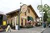
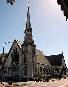
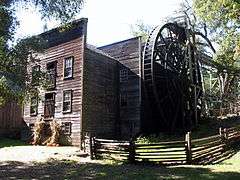
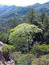
Listings

References
See also
| Wikimedia Commons has media related to California Historical Landmarks in Napa County, California. |
- List of California Historical Landmarks
- National Register of Historic Places listings in Napa County, California
This article is issued from Wikipedia - version of the 9/3/2016. The text is available under the Creative Commons Attribution/Share Alike but additional terms may apply for the media files.