Breton Woods, New Jersey
| Breton Woods, New Jersey | |
|---|---|
| Unincorporated community | |
|
At the center of Breton Woods along CR 528 | |
 Breton Woods, New Jersey 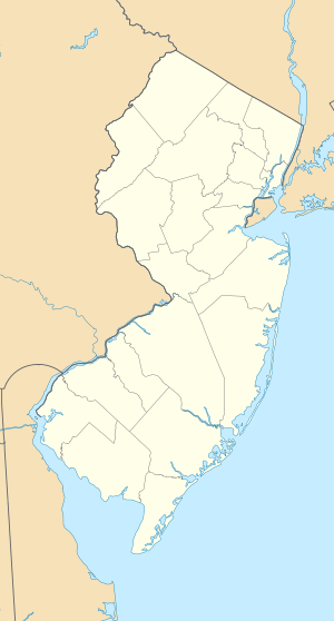 Breton Woods, New Jersey  Breton Woods, New Jersey Breton Woods' location in Ocean County (Inset: Ocean County in New Jersey) | |
| Coordinates: 40°02′44″N 74°06′31″W / 40.04556°N 74.10861°WCoordinates: 40°02′44″N 74°06′31″W / 40.04556°N 74.10861°W | |
| Country |
|
| State |
|
| County | Ocean |
| Township | Brick |
| Elevation | 13 ft (4 m) |
| GNIS feature ID | 874918[1] |

Breton Woods is an unincorporated community located within Brick Township, in Ocean County, New Jersey, United States. [2] The community is located near the Metedeconk River and is bisected by Mantoloking Road (County Route 528). Except for commercial businesses located along Mantoloking Road, the area is made up of bungalows dotting the small roads throughout the area.[3]
History
Breton Woods was established in the 1930s when property developers laid out a community of summer homes.[4] A post office was established at Breton Woods in 1937, and remained in operation until it was discontinued in 1960.[5]
References
- ↑ "Breton Woods". Geographic Names Information System. United States Geological Survey. Retrieved September 16, 2014.
- ↑ Locality Search, State of New Jersey. Accessed June 9, 2016.
- ↑ Google (August 31, 2016). "Aerial view of Breton Woods" (Map). Google Maps. Google. Retrieved August 31, 2016.
- ↑ Donatiello, Gene; Leavey, John (2013). Brick Township. Arcadia Publishing. p. 23. ISBN 978-0-7385-9764-5.
- ↑ "Ocean County". Jim Forte Postal History. Retrieved September 16, 2014.

This article is issued from Wikipedia - version of the 9/1/2016. The text is available under the Creative Commons Attribution/Share Alike but additional terms may apply for the media files.