Brackendale, New South Wales
| Brackendale New South Wales | |
|---|---|
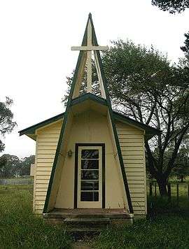 Brackendale church | |
|
Brackendale | |
| Coordinates | 31°13′S 151°42′E / 31.217°S 151.700°ECoordinates: 31°13′S 151°42′E / 31.217°S 151.700°E |
| Postcode(s) | 2354 |
| Elevation | 1,229 m (4,032 ft) |
| Location |
|
| LGA(s) | Walcha Shire |
| County | Vernon |
| State electorate(s) | Tamworth |
| Federal Division(s) | New England |
Brackendale is a rural locality situated on the Riamukka Road about 29 kilometres south of Walcha, New South Wales within the Walcha Shire local government area on the Northern Tablelands in Australia.
Brackendale was officially recognised as a locality in 1968[1] and currently comprises several houses and a church. The principal local industry is sheep and beef cattle breeding.
Orundumbi Post Office opened on 1 October 1892 and was renamed Brackendale in 1924.[2]
The single-teacher Brackendale Public School closed in 1989.[3]
In 2007, Brackendale and surrounding farms were quarantined following an outbreak of equine influenza.[4]
References
- ↑ "Brackendale". Geographical Names Register (GNR) of NSW. Geographical Names Board of New South Wales. Retrieved 22 November 2007.
- ↑ Premier Postal History. "Post Office List". Premier Postal Auctions. Retrieved 2011-05-26.
- ↑ "Brackendale Public School". Geographical Names Register (GNR) of NSW. Geographical Names Board of New South Wales. Retrieved 22 November 2007.
- ↑ "Equine Influenza Outbreak". New South Wales Department of Primary Industries. November 2007. Retrieved 2007-11-22.
This article is issued from Wikipedia - version of the 4/9/2015. The text is available under the Creative Commons Attribution/Share Alike but additional terms may apply for the media files.