Boulder, Western Australia
| Boulder Kalgoorlie, Western Australia | |||||||||||||
|---|---|---|---|---|---|---|---|---|---|---|---|---|---|
 Boulder | |||||||||||||
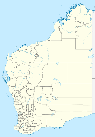
| Coordinates | 30°46′41″S 121°29′20″E / 30.778°S 121.489°ECoordinates: 30°46′41″S 121°29′20″E / 30.778°S 121.489°E | ||||||||||||
| Population | 5,178 (2006 census)[1] | ||||||||||||
| • Density | 1,151/km2 (2,980/sq mi) | ||||||||||||
| Postcode(s) | 6432 | ||||||||||||
| Area | 4.5 km2 (1.7 sq mi) | ||||||||||||
| Location | 5 km (3 mi) S of Kalgoorlie | ||||||||||||
| LGA(s) | City of Kalgoorlie-Boulder | ||||||||||||
| State electorate(s) | Eyre | ||||||||||||
| Federal Division(s) | O'Connor | ||||||||||||
| |||||||||||||
Boulder was a town in the Western Australian Goldfields 595 kilometres (370 mi) east of Perth and bordering onto the town of Kalgoorlie in the Eastern Goldfields region. Until 1989 it was part of its own municipality. In 1989 the towns of Kalgoorlie and Boulder were merged to form the City of Kalgoorlie-Boulder. After the merger Boulder officially became a suburb of Kalgoorlie-Boulder.
The population of Boulder in 1901 was 2,936 (1850 males and 1086 females) which increased to 5,658 (3090 males and 2568 females) in 1903.[2]
At the 2006 census, Boulder had a population of 5,178.[1]
On 20 April 2010 Kalgoorlie-Boulder suffered a magnitude 5.0 earthquake which damaged several of the historic buildings in Boulder.[3]
References
- 1 2 Australian Bureau of Statistics (25 October 2007). "Boulder (State Suburb)". 2006 Census QuickStats. Retrieved 10 July 2009.
- ↑ "West Australia". Kalgoorlie Western Argus. Western Australia: National Library of Australia. 9 June 1903. p. 32. Retrieved 27 March 2014.
- ↑ "Earthquake rocks Kalgoorlie-Boulder". 20 April 2010.
This article is issued from Wikipedia - version of the 8/22/2016. The text is available under the Creative Commons Attribution/Share Alike but additional terms may apply for the media files.