Bitlia
| Bitlia Бі́тля | |
|---|---|
| village | |
 Bitlia | |
| Coordinates: UA 48°58′41″N 22°59′35″E / 48.97806°N 22.99306°ECoordinates: UA 48°58′41″N 22°59′35″E / 48.97806°N 22.99306°E | |
| Country |
|
| Province |
|
| District |
|
| Established | 1512 |
| Area | |
| • Total | 2,4 km2 (9 sq mi) |
| Elevation/(average value of) | 648 m (2,126 ft) |
| Population | |
| • Total | 674 |
| • Density | 458,75/km2 (118,820/sq mi) |
| Time zone | EET (UTC+2) |
| • Summer (DST) | EEST (UTC+3) |
| Postal code | 82551 |
| Area code | +380 3269 |
| Website | село Бітля (Ukrainian) |
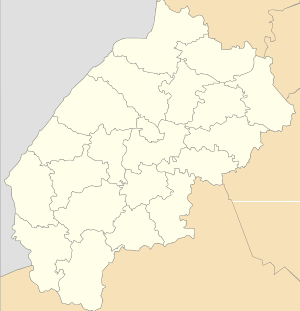
Bitlia (Ukrainian: Бі́тля, Polish: Butla) is a village (selo) in Turka Raion, Lviv Oblast, in southwest Ukraine. The village is located at a distance of 28 kilometres (17 mi) from the district center of Turka and 160 kilometres (99 mi) from the regional center of Lviv.[1] Its population is 1,101. Local government — Bitlianska village council.[2]
The village Bitlia[3] is located in the Ukrainian Carpathians within the limits the Eastern Beskids in southwestern Lviv Oblast in Turka Raion.
The first written mention of the settlement dates back to 1512.[4]
Notes
- ↑ DELLA
- ↑ Бітлянська сільська рада (Ukrainian)
- ↑ Село Бітля вікіпедія Бітля (Ukrainian)
- ↑ Село Бітля: карта вулиць (Ukrainian)
References
Literature
- Ukrainian: (Історія міст і сіл УРСР : Львівська область. – К. : ГРУРЕ, 1968 р.) Page 877.
This article is issued from Wikipedia - version of the 11/10/2016. The text is available under the Creative Commons Attribution/Share Alike but additional terms may apply for the media files.