Bellwood, Alabama
| Bellwood, Alabama | |
|---|---|
| Unincorporated community | |
 Bellwood  Bellwood | |
| Coordinates: 31°10′24″N 85°47′36″W / 31.17333°N 85.79333°WCoordinates: 31°10′24″N 85°47′36″W / 31.17333°N 85.79333°W | |
| Country | United States |
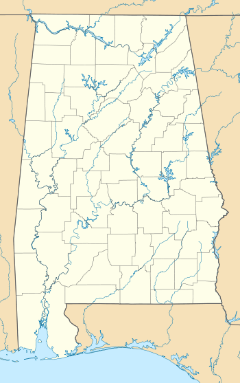
| State | Alabama |
| County | Geneva |
| Elevation | 135 ft (41 m) |
| Time zone | Central (CST) (UTC-6) |
| • Summer (DST) | CDT (UTC-5) |
| ZIP code | 36313 |
| Area code(s) | 334 |
| GNIS feature ID | 113896[1] |
Bellwood is an unincorporated community in Geneva County, Alabama, United States. Bellwood is located on Alabama State Route 85, 10.5 miles (16.9 km) north-northeast of Geneva.[2] Bellwood has a post office with ZIP code 36313.[3][4]
Demographics
| Historical population | |||
|---|---|---|---|
| Census | Pop. | %± | |
| 1910 | 201 | — | |
| 1930 | 299 | — | |
| 1940 | 285 | −4.7% | |
| 1950 | 263 | −7.7% | |
| 1960 | 273 | 3.8% | |
| U.S. Decennial Census[5] | |||
According to the U.S. Census for 1910, Bellwood initially incorporated in 1907. The incorporated lapsed in the 1910s and it did not appear on the 1920 census rolls. It reincorporated in 1925 and was listed from 1930-1960. It disincorporated at some point in the 1960s.
References
- ↑ "Bellwood". Geographic Names Information System. United States Geological Survey.
- ↑ General Highway Map: Geneva County, Alabama (PDF) (Map). Alabama Department of Transportation. 2008. Retrieved February 13, 2013.
- ↑ United States Postal Service (2012). "USPS - Look Up a ZIP Code". Retrieved 2012-02-15.
- ↑ "Postmaster Finder - Post Offices by ZIP Code". United States Postal Service. Retrieved February 13, 2013.
- ↑ "U.S. Decennial Census". Census.gov. Archived from the original on May 11, 2015. Retrieved June 6, 2013.
Municipalities and communities of Geneva County, Alabama, United States | ||
|---|---|---|
| Cities |  | |
| Towns | ||
| CDP | ||
| Unincorporated communities | ||
| Footnotes | ‡This populated place also has portions in an adjacent county or counties | |
This article is issued from Wikipedia - version of the 10/30/2016. The text is available under the Creative Commons Attribution/Share Alike but additional terms may apply for the media files.