Belín
| Belín | |
| Village | |
| Country | Slovakia |
|---|---|
| Region | Banská Bystrica |
| District | Rimavská Sobota |
| Elevation | 219 m (719 ft) |
| Coordinates | SK 48°21′N 20°07′E / 48.350°N 20.117°ECoordinates: SK 48°21′N 20°07′E / 48.350°N 20.117°E |
| Area | 4.196168 km2 (1.62 sq mi) |
| Population | 193 (2011) |
| Density | 46/km2 (119/sq mi) |
| First mentioned | 1349 |
| Postal code | 980 01 |
| Area code | +421-47 |
| Car plate | RS |
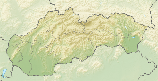 Location of Belín in Slovakia
| |
 Location of Belín in the Banská Bystrica Region
| |
| Statistics: | |
| Website: www.belin.gemer.org/ | |
Belín is a village and municipality in the Rimavská Sobota District of the Banská Bystrica Region of southern Slovakia.[1] In the village is foodstuff store, public library and football pitch. Important sightseeing is late-classical church.
History
The village arose in the late 12th century. In historical records the village was first mentioned in 1349. In 1823 had been in the village 23 houses. Locals were engaged in agriulture and a hand made production of brooms and brushes.
See also
References
- ↑ "Statistical Office of the slovak Republic" (PDF). Výsledky SODB 2011. Štatistický úrad SR. Archived from the original (PDF) on 2013-10-12. Retrieved 9.8.2012. Check date values in:
|access-date=(help)
Genealogical resources
The records for genealogical research are available at the state archive "Statny Archiv in Banska Bystrica, Slovakia"
- Roman Catholic church records (births/marriages/deaths): 1768-1878 (parish B)
- Reformated church records (births/marriages/deaths): 1780-1897 (parish B)
External links
- https://web.archive.org/web/20070427022352/http://www.statistics.sk/mosmis/eng/run.html
- http://www.e-obce.sk/obec/belin/belin.html
- Surnames of living people in Belin
This article is issued from Wikipedia - version of the 10/30/2016. The text is available under the Creative Commons Attribution/Share Alike but additional terms may apply for the media files.