Babar, Algeria
| Babar بابار | |
|---|---|
| Municipality | |
| Commune of Babar | |
 Location of Babar, Algeria within Khenchela Province | |
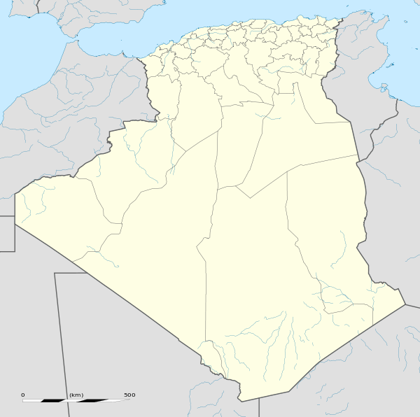 Babar Location of Babar within Algeria | |
| Coordinates: 35°09′40″N 7°05′02″E / 35.161°N 7.084°ECoordinates: 35°09′40″N 7°05′02″E / 35.161°N 7.084°E | |
| Country |
|
| Province | Khenchela |
| District | Babar (coextensive) |
| Government | |
| • PMA Seats | 11 |
| Area | |
| • Total | 4,037 km2 (1,559 sq mi) |
| Elevation | 1,207 m (3,960 ft) |
| Population (1998) | |
| • Total | 28,182 |
| • Density | 7.0/km2 (18/sq mi) |
| Time zone | CET (UTC+01) |
| Postal code | 40340 |
| ONS code | 4013 |
Babar is a municipality in Khenchela Province, Algeria. It coextensive with Babar district and has a population of 28,182, which gives it 11 seats in the PMA. Its postal code is 40340 and its municipal code is 4013.
History
Babar (![]() ) in Amazigh means the Lion's Gate : Bab the Gate Ar Lion. It is the opening to the berberian lion Atlasien Lion territory, to Sheshar (Chechar) and Seiar (Seïar).
) in Amazigh means the Lion's Gate : Bab the Gate Ar Lion. It is the opening to the berberian lion Atlasien Lion territory, to Sheshar (Chechar) and Seiar (Seïar).
Capital: Khenchela | ||
| Khenchela District |  | |
| Kaïs District | ||
| Aïn Touila District | ||
| El Hamma District | ||
| Bouhmama District | ||
| Chechar District | ||
| Oued Rechache District | ||
| Babar District | ||
This article is issued from Wikipedia - version of the 6/20/2016. The text is available under the Creative Commons Attribution/Share Alike but additional terms may apply for the media files.