Antofagasta Province
| Antofagasta Province Provincia de Antofagasta | |||||
|---|---|---|---|---|---|
| Province | |||||
| |||||
| Coordinates: 24°37′S 69°32′W / 24.617°S 69.533°WCoordinates: 24°37′S 69°32′W / 24.617°S 69.533°W | |||||
| Country |
| ||||
| Region |
| ||||
| Capital | Antofagasta | ||||
| Communes |
List of 4:
| ||||
| Government[1] | |||||
| • Type | Provincial | ||||
| • Governor | Pablo Toloza Fernández | ||||
| Area[2] | |||||
| • Province | 67,813.5 km2 (26,182.9 sq mi) | ||||
| Population (2012 Census)[2] | |||||
| • Province | 359,353 | ||||
| • Rank | 1 | ||||
| • Density | 5.3/km2 (14/sq mi) | ||||
| • Urban | 313,244 | ||||
| • Rural | 5,535 | ||||
| Sex[2] | |||||
| • Men | 165,847 | ||||
| • Women | 152,932 | ||||
| Time zone | CLT [3] (UTC-4) | ||||
| • Summer (DST) | CLST[4] (UTC-3) | ||||
| Area code(s) | 56 + 55 | ||||
| Website | Government of Antofagasta | ||||


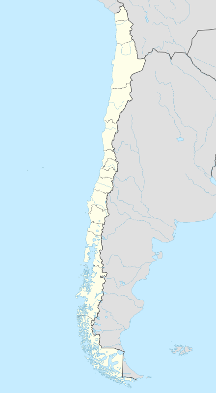
Antofagasta Province (Spanish: Provincia de Antofagasta) is one of three provinces in the northern Chilean region of Antofagasta (II). The capital is the port city of Antofagasta. Located within the Atacama Desert, it borders the El Loa and Tocopilla provinces to the north,the Pacific Ocean to the West and the Atacama Region to the south.
History
Before 1866, this region was disputed and claimed by Chile and Bolivia. Between 1866 to 1879 the province contractually belonged to Bolivia, and was known as the Atacama Department, or the Litoral. It fell into the possession of Chile in the War of the Pacific of 1879-84, and was forcefully ceded to that republic in 1904. This is disputed by Bolivia as the forced takeover of part of a country by a stronger nation.
Geography
The province spans an area of 67,813.5 km2 (26,183 sq mi)[2] in the Atacama Desert. It is the second largest province in the country, second only to Antártica Chilena Province (1,265,853.7 km2), which is not internationally recognized.
Its area is rich in saline and other mineral deposits with the important Caracoles silver mines about 90 miles (140 km) north-east of the Antofagasta. Like the other provinces of this region, Antofagasta produces for export copper, silver, silver ores, lead, nitrate of soda, borax and salt. Iron and manganese ores are also found here.
Demography
According to the 2002 census by the National Statistics Institute, the province had a 2012 population of 359,353, and a population density of 4.7/km2 (12/sq mi). Of this population, 313,244 (98.3%) lived in urban areas and 5,535 (1.7%) in rural areas. Between the 1992 and 2002 censuses, the population grew by 29.1% (71,779 persons).[2]
Besides Antofagasta, the principal towns are Taltal and Mejillones.
Administration
As a province, Antofagasta is a second-level administrative division of Chile, which is further subdivided into four communes (comunas). The province is administered by a presidentially appointed governor. Pablo Toloza Fernández was appointed by president Sebastián Piñera. Government headquarters are located at Arturo Prat N° 384, Piso 6, Antofagasta.[1]
| Commune | Area (km2)[2] | 2002[2] Population |
Density (km2) |
Government website[5] |
|---|---|---|---|---|
| Taltal | 20,405.1 | 11,100 | 0.5 | link |
| Sierra Gorda | 12,866.4 | 2,356 | 0.2 | link |
| Mejillones | 3,803.9 | 8,418 | 2.2 | link |
| Antofagasta (Capital) | 30,718.1 | 296,905 | 9.7 | link |
| Province | 67,793.5 | 318,779 | 4.7 | link |
References
- 1 2 "Gobernadores". Government of Chile (in Spanish). Retrieved 15 March 2011.
- 1 2 3 4 5 6 7 "Territorial division of Chile" (PDF) (in Spanish). Retrieved 16 February 2011.
- ↑ "Chile Time". WorldTimeZones.org. Archived from the original on 13 July 2010. Retrieved 2010-07-28.
- ↑ "Chile Summer Time". WorldTimeZones.org. Archived from the original on 2007-09-11. Retrieved 2010-07-28.
- ↑ "Asociacion Chilena de Municipalidades" (in Spanish). Archived from the original on 19 April 2011. Retrieved 12 March 2011.
External links
- (Spanish) Government of Antofagasta
