Alman, Marjeyoun
| Alman علمان | |
|---|---|
| Village | |
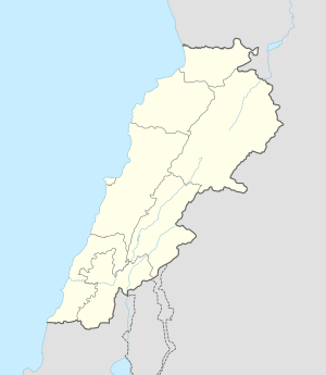 Alman Location within Lebanon | |
| Coordinates: 33°18′09″N 35°28′16″E / 33.30250°N 35.47111°ECoordinates: 33°18′09″N 35°28′16″E / 33.30250°N 35.47111°E | |
| Grid position | 124/152 L |
| Country |
|
| Governorate | Nabatieh Governorate |
| District | Marjeyoun District |
| Time zone | EET (UTC+2) |
| • Summer (DST) | EEST (UTC+3) |
| Dialing code | +961 |
Alman (Arabic: علمان) is a village in the Marjeyoun District in South Lebanon.
Name
According to E. H. Palmer, the name Alman is perhaps from the Arabic form of “a sign-post” or “a mountain”.[1]
History
In 1875 Victor Guérin visited, and noted that some houses were built with large stones which appeared ancient.[2]
In 1881, the Palestine Exploration Fund's Survey of Western Palestine (SWP) described it: "A few houses built of stone on the ruins of a village; they contain about forty Metawileh. The place is situated on the edge of the cliffs above the Litany River, and is surrounded by a few gardens with figs and olives; there are five rock-cut cisterns and a birket."[3] They further noted: "The present village is built on the ruins of a former town, of which the foundations can be seen. The houses are built with great blocks of ancient appearance. On the north side there is a rock-cut tomb, with roughly-sculptured figures over the entrance: this is called Mugharet ish Shahl."[4]
References
Bibliography
- Conder, Claude Reignier; Kitchener, H. H. (1881). The Survey of Western Palestine: Memoirs of the Topography, Orography, Hydrography, and Archaeology. 1. London: Committee of the Palestine Exploration Fund.
- Guérin, Victor (1880). Description Géographique Historique et Archéologique de la Palestine (in French). 3: Galilee, pt. 2. Paris: L'Imprimerie Nationale.
- Palmer, E. H. (1881). The Survey of Western Palestine: Arabic and English Name Lists Collected During the Survey by Lieutenants Conder and Kitchener, R. E. Transliterated and Explained by E.H. Palmer. Committee of the Palestine Exploration Fund.
External links
- Survey of Western Palestine, Map 2: IAA, Wikimedia commons
| Capital | 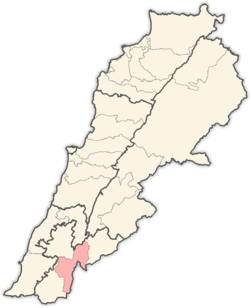 | |
|---|---|---|
| Towns and villages | ||
| Other | ||