Alanngorsuaq Fjord
| Alanngorsuaq Fjord Kobberminebugt | |
|---|---|
| Coppermine Bay | |
 Location | |
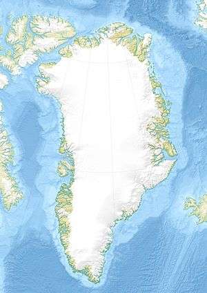
| Location | Arctic |
| Coordinates | 60°55′N 48°15′W / 60.917°N 48.250°WCoordinates: 60°55′N 48°15′W / 60.917°N 48.250°W |
| Ocean/sea sources | Labrador Sea |
| Basin countries | Greenland |
Alanngorsuaq Fjord, also known as Coppermine Bay (Danish: Kobberminebugt), is a fjord in the Kujalleq municipality in southern Greenland. At the mouth of the fjord the coastline of southwestern Greenland turns to the east towards Qaqortoq.
Geography
Alanngorsuaq Fjord opens towards the west a few miles north of Cape Desolation. The Inner Kitsissut islands lie on the southern side of the mouth of the bay.[1]
The fjord is 40 km (24.9 mi) long,[2] with an east-north-east − west-south-west orientation, opening into the Labrador Sea. There are several oblong, uninhabited islands in the inner part of the fjord, its mouth widening into a 17 km (10.6 mi) bay at the confluence with the Labrador Sea[3] at approximately 60°53′30″N 48°19′30″W / 60.89167°N 48.32500°W.
 An iceberg floating at the mouth of the fjord; southern end |
 The mouth of Alanngorsuaq Fjord; northern end |
Settlement
The shores of the fjord are uninhabited. Arsuk is the closest settlement, located just beyond the border with the Sermersooq municipality, approximately 30 km (18.6 mi) to the north of the fjord mouth.
The fjord marked the southern limit of the former Frederikshåb District, now Paamiut.[4] It was named 'Coppermine Bay' after a pioneer mining operation in Southwestern Greenland at the beginning of the 20th century.[5]
See also
References
- ↑ Kobberminebugt
- ↑ Norwegian University of Science and Technology
- ↑ Ivittuut/Narsarsuaq/Qaqortoq, Saga Map, Tage Schjøtt, 1992
- ↑ Geographical Items on West Greenland Encyclopedia
- ↑ The History of the Josva copper mine in Greenland, 1905-14
External links
 Media related to Alanngorsuaq Fjord at Wikimedia Commons
- Explanatory notes to the Geological map of Greenland
- 1:1,000,000 scale Operational Navigation Chart, Sheet B-8, 3rd edition