Manlius Township, Bureau County, Illinois
| Manlius Township | |
|---|---|
| Township | |
 Location in Bureau County | |
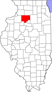 Bureau County's location in Illinois | |
| Coordinates: 41°27′12″N 89°40′44″W / 41.45333°N 89.67889°WCoordinates: 41°27′12″N 89°40′44″W / 41.45333°N 89.67889°W | |
| Country | United States |
| State | Illinois |
| County | Bureau |
| Established | November 6, 1849 |
| Area | |
| • Total | 36.25 sq mi (93.9 km2) |
| • Land | 36.22 sq mi (93.8 km2) |
| • Water | 0.03 sq mi (0.08 km2) 0.08% |
| Elevation | 702 ft (214 m) |
| Population (2010) | |
| • Total | 653 |
| • Density | 18/sq mi (7/km2) |
| Time zone | CST (UTC-6) |
| • Summer (DST) | CDT (UTC-5) |
| ZIP codes | 61338, 61361, 61376, 61379 |
| GNIS feature ID | 0429318 |
Manlius Township is one of twenty-five townships in Bureau County, Illinois, USA. As of the 2010 census, its population was 653 and it contained 307 housing units.[1] Manlius Township changed its name from Green River Township on an unknown date.
Geography
According to the 2010 census, the township has a total area of 36.25 square miles (93.9 km2), of which 36.22 square miles (93.8 km2) (or 99.92%) is land and 0.03 square miles (0.078 km2) (or 0.08%) is water.[1]
Cities
Cemeteries
The township contains these three cemeteries: Follett, Manlius and Sand Hill Baptist.
Major highways
School districts
- Bureau Valley Community Unit School District 340
Political districts
- Illinois' 11th congressional district
- State House District 74
- State Senate District 37
References
- "Manlius Township, Bureau County, Illinois". Geographic Names Information System. United States Geological Survey. Retrieved 2010-01-04.
- United States Census Bureau 2007 TIGER/Line Shapefiles
- United States National Atlas
- 1 2 "Population, Housing Units, Area, and Density: 2010 - County -- County Subdivision and Place -- 2010 Census Summary File 1". United States Census. Retrieved 2013-05-28.
External links
 |
Fairfield Township | Greenville Township | Walnut Township | |
| Gold Township | |
Bureau Township | ||
| ||||
| | ||||
| Mineral Township | Concord Township | Wyanet Township |
Municipalities and communities of Bureau County, Illinois, United States | ||
|---|---|---|
| Cities | ||
| Villages | ||
| Townships | ||
| Unincorporated communities | ||
| Ghost town | ||
| Footnotes | ‡This populated place also has portions in an adjacent county or counties | |
This article is issued from Wikipedia - version of the 7/18/2015. The text is available under the Creative Commons Attribution/Share Alike but additional terms may apply for the media files.