East Enterprise, Indiana
| East Enterprise | |
|---|---|
| Census-designated place | |
 East Enterprise  East Enterprise | |
| Coordinates: 38°52′22″N 84°59′17″W / 38.87278°N 84.98806°WCoordinates: 38°52′22″N 84°59′17″W / 38.87278°N 84.98806°W | |
| Country | United States |
| State | Indiana |
| County | Switzerland |
| Township | Cotton |
| Elevation[1] | 879 ft (268 m) |
| ZIP code | 47019 |
| Area code(s) | 812 |
| GNIS feature ID | 433879 |
East Enterprise is an unincorporated census-designated place in central Cotton Township, Switzerland County, in the U.S. state of Indiana.[2] Although East Enterprise is unincorporated, it has a post office, with the ZIP code of 47019.[3]
History
The East Enterprise post office has been in operation since 1864.[4] An old variant name of the community was called Clapboard Corner.[5]
Geography
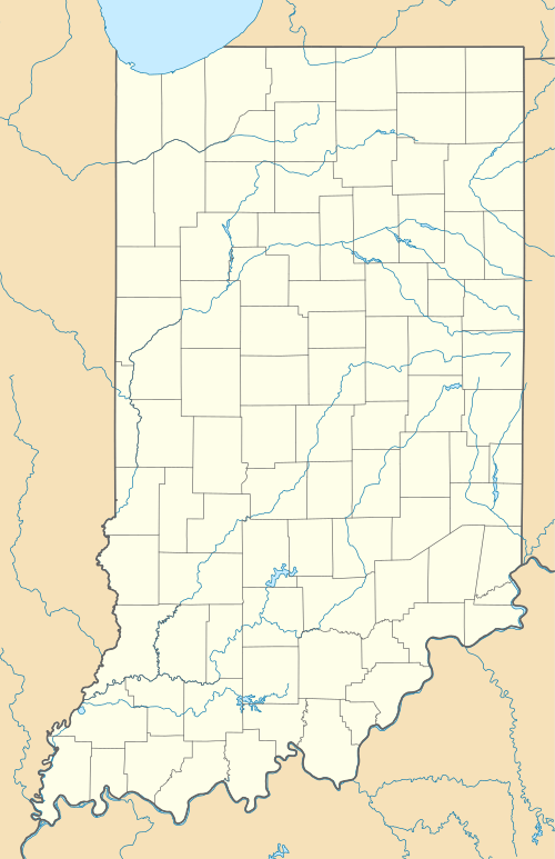
The community lies at the intersection of State Roads 56 and 250 northeast of the town of Vevay, the county seat of Switzerland County.[6] Its elevation is 883 feet (269 m), and it is located at 38°52′22″N 84°59′17″W / 38.87278°N 84.98806°W (38.8728383, -84.9880062).[7]
References
- ↑ "US Board on Geographic Names". United States Geological Survey. October 25, 2007. Retrieved 2016-11-04.
- ↑ "East Enterprise, Indiana". Geographic Names Information System. United States Geological Survey. Retrieved 2009-10-17.
- ↑ Zip Code Lookup
- ↑ "Switzerland County". Jim Forte Postal History. Retrieved August 25, 2016.
- ↑ "USGS detail on East Enterprise - Variant Citation". Retrieved 2016-11-04.
- ↑ DeLorme. Indiana Atlas & Gazetteer. 3rd ed. Yarmouth: DeLorme, 2004, p. 53, 59. ISBN 0-89933-319-2.
- ↑ Geographic Names Information System Feature Detail Report, Geographic Names Information System, 1979-02-14. Accessed 2008-06-01.
Municipalities and communities of Switzerland County, Indiana, United States | ||
|---|---|---|
| Towns | ||
| Townships | ||
| CDPs | ||
| Other unincorporated communities | ||
This article is issued from Wikipedia - version of the 11/4/2016. The text is available under the Creative Commons Attribution/Share Alike but additional terms may apply for the media files.