Buena Vista, Franklin County, Indiana
| Buena Vista, Indiana | |
|---|---|
| Unincorporated community | |
 Buena Vista  Buena Vista | |
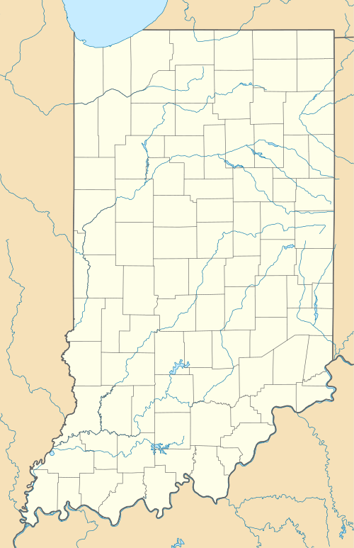
| Coordinates: 39°26′20″N 85°16′21″W / 39.43889°N 85.27250°WCoordinates: 39°26′20″N 85°16′21″W / 39.43889°N 85.27250°W | |
| Country | United States |
| State | Indiana |
| County | Franklin |
| Township | Posey |
| Elevation | 1,004 ft (306 m) |
| ZIP code | 47024 |
| FIPS code | 18-08938[1] |
| GNIS feature ID | 431764[2] |
Buena Vista is an unincorporated community in Posey Township, Franklin County, Indiana.
History
Buena Vista was laid out in 1848 by William Pruet, a landowner.[3] Its name commemorates the Battle of Buena Vista.[4]
Geography
Buena Vista is located at 39°26′20″N 85°16′21″W / 39.43889°N 85.27250°W.
References
- ↑ "American FactFinder". United States Census Bureau. Archived from the original on 2013-09-11. Retrieved 2008-01-31.
- ↑ "Buena Vista, Indiana". Geographic Names Information System. United States Geological Survey. Retrieved 2009-10-10.
- ↑ Reifel, August Jacob (1915). History of Franklin County, Indiana. Windmill Publications. p. 173.
- ↑ Baker, Ronald L. (October 1995). From Needmore to Prosperity: Hoosier Place Names in Folklore and History. Indiana University Press. p. 80. ISBN 978-0-253-32866-3.
...and named for the Battle of Buena in the Mexican War.
Municipalities and communities of Franklin County, Indiana, United States | ||
|---|---|---|
| City | ||
| Towns | ||
| Townships | ||
| CDPs | ||
| Other unincorporated communities |
| |
| Footnotes | ‡This populated place also has portions in an adjacent county or counties | |
This article is issued from Wikipedia - version of the 11/10/2016. The text is available under the Creative Commons Attribution/Share Alike but additional terms may apply for the media files.