Melton West, Victoria
| West Melton Melbourne, Victoria | |||||||||||||
|---|---|---|---|---|---|---|---|---|---|---|---|---|---|
 West Melton | |||||||||||||
| Coordinates | 37°40′30″S 144°33′18″E / 37.675°S 144.555°ECoordinates: 37°40′30″S 144°33′18″E / 37.675°S 144.555°E | ||||||||||||
| Population | 14,171 (2011 census)[1] | ||||||||||||
| Postcode(s) | 3337 | ||||||||||||
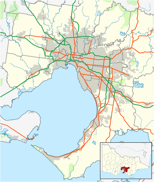
| Location | |||||||||||||
| LGA(s) | City of Melton | ||||||||||||
| State electorate(s) | Melton | ||||||||||||
| Federal Division(s) | Gorton | ||||||||||||
| |||||||||||||
West Melton is a suburb of Melbourne, Victoria, Australia, 40 km west of Melbourne's Central Business District. Its local government area is the City of Melton. At the 2011 Census, West Melton had a population of 14,171.
West Melton Post Office opened on 1 September 1994.[2]
See also
References
- ↑ Australian Bureau of Statistics (31 October 2012). "West Melton (State Suburb)". 2011 Census QuickStats. Retrieved 30 June 2012.
- ↑ Premier Postal History, Post Office List, retrieved 11 April 2008
This article is issued from Wikipedia - version of the 11/10/2016. The text is available under the Creative Commons Attribution/Share Alike but additional terms may apply for the media files.