Kickapoo Site 1, Kansas
| Kickapoo Site 1 | |
|---|---|
| Census-designated place | |
 Kickapoo Site 1 | |
| Coordinates: 39°42′50″N 95°39′0″W / 39.71389°N 95.65000°WCoordinates: 39°42′50″N 95°39′0″W / 39.71389°N 95.65000°W | |
| Country | United States |
| State | Kansas |
| County | Brown |
| Area | |
| • Total | 0.5 sq mi (1.3 km2) |
| • Land | 0.5 sq mi (1.3 km2) |
| • Water | 0.0 sq mi (0.0 km2) |
| Elevation[1] | 1,125 ft (343 m) |
| Population (2010) | |
| • Total | 101 |
| • Density | 339/sq mi (130.9/km2) |
| Time zone | Central (CST) (UTC-6) |
| • Summer (DST) | CDT (UTC-5) |
| FIPS code | 20-36735 |
| GNIS ID | 2583500[1] |
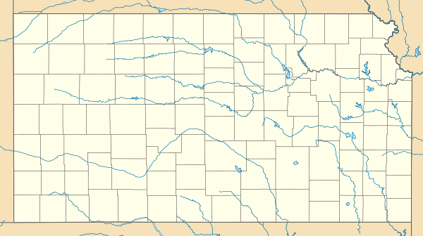
Kickapoo Site 1 is a census-designated place (CDP) on the Kickapoo Reservation in Brown County, Kansas, United States. The population was 101 at the 2010 census.[2]
Geography
Kickapoo Site 1 is located in southwest Brown County in the northeast part of the Kickapoo Reservation. According to the United States Census Bureau, the CDP has a total area of 0.50 square miles (1.3 km2), all land.[2]
References
- 1 2 U.S. Geological Survey Geographic Names Information System: Kickapoo Site 1, Kansas
- 1 2 "Geographic Identifiers: 2010 Demographic Profile Data (G001): Kickapoo Site 1 CDP, Kansas". U.S. Census Bureau, American Factfinder. Retrieved November 15, 2013.
External links
Municipalities and communities of Brown County, Kansas, United States | ||
|---|---|---|
| Cities |  | |
| CDPs | ||
| Unincorporated communities | ||
| Indian reservations | ||
| Townships | ||
| Footnotes | ‡This populated place also has portions in an adjacent county or counties | |
This article is issued from Wikipedia - version of the 11/18/2013. The text is available under the Creative Commons Attribution/Share Alike but additional terms may apply for the media files.