Callao, Utah
| Callao | |
|---|---|
| Unincorporated community | |
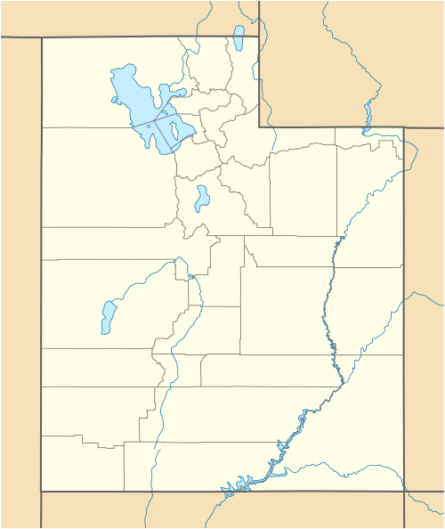 Callao  Callao Location of Callao in Utah | |
| Coordinates: 39°53′52″N 113°42′31″W / 39.89778°N 113.70861°WCoordinates: 39°53′52″N 113°42′31″W / 39.89778°N 113.70861°W | |
| Country | United States |
| State | Utah |
| County | Juab |
| Settled | 1860 |
| Named for | Callao |
| Elevation[1] | 4,337 ft (1,322 m) |
| Time zone | Mountain (MST) (UTC-7) |
| • Summer (DST) | MDT (UTC-6) |
| ZIP code | 84034 |
| Area code(s) | 435 |
| GNIS feature ID | 1437516[1] |
Callao (/ˈkæliːoʊ/ KAL-ee-oh) is a small farming community in northern Snake Valley, along the border of Juab County and Tooele County, Utah, United States. It was part of the original Pony Express overland route, and was first called Willow Springs in 1860. E. W. Tripp, his wife and son, were the first to establish residence there, in 1870. In 1895 it was decided that Willow Springs was too common a name, and a new name would be chosen. The name Callao was chosen because of a resemblance to Callao, Peru, suggested by an old prospector in the region who was working out of Gold Hill to the north.[2] It is unknown how the pronunciation changed from the Spanish [kaˈʝau] ('kah-YOW'). Little more than a group of ranches, Callao has a long history of being small and isolated.
Climate
According to the Köppen Climate Classification system, Callao has a semi-arid climate, abbreviated "BSk" on climate maps.[3]
References
- 1 2 U.S. Geological Survey Geographic Names Information System: Callao
- ↑ Van Cott, John W. (1990). Utah Place Names. Salt Lake City, Utah: University of Utah Press. p. 62. ISBN 0-87480-345-4.
- ↑ Climate Summary for Callao, Utah
External links
Municipalities and communities of Juab County, Utah, United States | ||
|---|---|---|
| Cities | 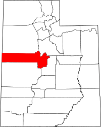 | |
| Towns | ||
| Unincorporated communities | ||
| Ghost towns | ||
| Footnotes | ‡This populated place also has portions in an adjacent county or counties | |