Aguila, Arizona
| Aguila, Arizona | |
|---|---|
| CDP | |
|
The Aguila Depot, built in 1907 by the Santa Fe, Prescott and Phoenix Railway and moved to the McCormick-Stillman Railroad Park in Scottsdale, Arizona. | |
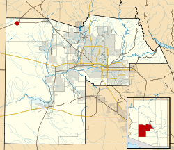 Location in Maricopa County and the state of Arizona | |
 Aguila, Arizona Location in the United States | |
| Coordinates: 33°56′34″N 113°10′27″W / 33.94278°N 113.17417°WCoordinates: 33°56′34″N 113°10′27″W / 33.94278°N 113.17417°W | |
| Country | United States |
| State | Arizona |
| County | Maricopa |
| Population (2010) | |
| • Total | 798 |
| Time zone | Mountain (MST) (UTC-7) |
| Area code(s) | 928 |

Aguila is a CDP in Maricopa County, Arizona, United States. It is located on U.S. Route 60 approximately 25 miles west of Wickenburg, or at approximately 50000 N. 510th Ave. Major economic activities include cantaloupe farming and formerly included mining. It uses the same street numbering system as Phoenix. As of the 2010 census, the population of Aguila was 798.
Demographics
| Historical population | |||
|---|---|---|---|
| Census | Pop. | %± | |
| 2010 | 798 | — | |
| Source:[1] | |||
As of the census[2] of 2010, there were 798 people residing in the CDP. The population density was 508.1 people per square mile. The racial makeup of the CDP was 64.66% White, 1.00% Black or African American, 3.63% Native American, 0.38% Asian, 0.25% Pacific Islander, 28.07% from other races, and 2.01% from two or more races. 69.42% of the population were Hispanic or Latino of any race.
Climate
This area has a large amount of sunshine year round due to its stable descending air and high pressure. According to the Köppen Climate Classification system, Aguila has a mild desert climate, abbreviated "Bwh" on climate maps.[3]
| Climate data for Aguila | |||||||||||||
|---|---|---|---|---|---|---|---|---|---|---|---|---|---|
| Month | Jan | Feb | Mar | Apr | May | Jun | Jul | Aug | Sep | Oct | Nov | Dec | Year |
| Average high °F (°C) | 62.4 (16.9) |
65.8 (18.8) |
70.9 (21.6) |
80.2 (26.8) |
88.9 (31.6) |
98.8 (37.1) |
102.6 (39.2) |
100.4 (38) |
95.3 (35.2) |
85 (29) |
71.7 (22.1) |
63.7 (17.6) |
82.1 (27.8) |
| Average low °F (°C) | 33.1 (0.6) |
35.7 (2.1) |
38.9 (3.8) |
44.5 (6.9) |
51.8 (11) |
60.6 (15.9) |
70.2 (21.2) |
69.7 (20.9) |
62.4 (16.9) |
50.3 (10.2) |
38.5 (3.6) |
33.3 (0.7) |
49.1 (9.5) |
| Average precipitation inches (cm) | 1 (3) |
1.1 (2.8) |
0.9 (2.3) |
0.4 (1) |
0.1 (0.3) |
0.1 (0.3) |
0.9 (2.3) |
1.4 (3.6) |
0.7 (1.8) |
0.5 (1.3) |
0.6 (1.5) |
1 (3) |
8.7 (22.1) |
| Source: Weatherbase [4] | |||||||||||||
References
- ↑ "Archived copy". Archived from the original on 2011-07-21. Retrieved 2013-10-18.
- ↑ "Archived copy". Archived from the original on 2011-07-21. Retrieved 2013-10-18.
- ↑ Climate Summary for Aguila, Arizona
- ↑ "Weatherbase: Historical Weather for Aguila, Arizona". Weatherbase. 2011. Retrieved on November 24, 2011.
External links
Municipalities and communities of Maricopa County, Arizona, United States | ||
|---|---|---|
| Cities | 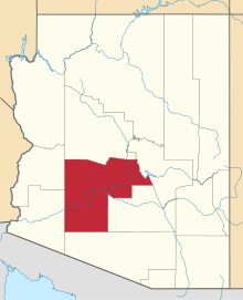 | |
| Towns | ||
| CDPs | ||
| Unincorporated communities |
| |
| Indian reservations | ||
| Ghost towns | ||
| Footnotes | ‡This populated place also has portions in an adjacent county or counties | |