Ślesin
See also: Ślesin, Kuyavian-Pomeranian Voivodeship
| Ślesin | ||
|---|---|---|
|
Holy Family Monument, landmark to commemorate the independence of Poland | ||
| ||
 Ślesin | ||
| Coordinates: 52°22′N 18°18′E / 52.367°N 18.300°E | ||
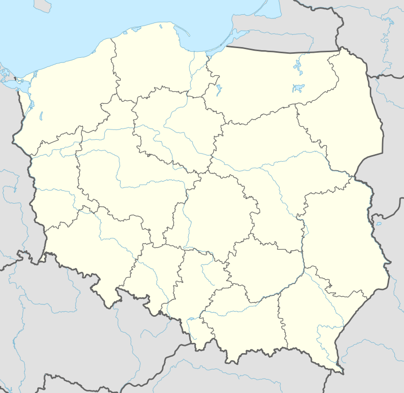
| Country |
| |
| Voivodeship | Greater Poland | |
| County | Konin | |
| Gmina | Ślesin | |
| Area | ||
| • Total | 7.18 km2 (2.77 sq mi) | |
| Population (2006) | ||
| • Total | 3,102 | |
| • Density | 430/km2 (1,100/sq mi) | |
| Postal code | 62-561 | |
| Website | http://www.slesin.pl | |


Ślesin [ˈɕlɛɕin] is a town in Konin County, Greater Poland Voivodeship, Poland, with 3,324 inhabitants (2004). In partitioned Poland it belonged to the Russian-controlled Congress Kingdom from 1815; it returned to Poland when the country regained its independence in 1918. During World War II, Ślesin was occupied by the Wehrmacht on 13 September 1939, annexed to Nazi Germany from 1939 to 1945 and administered as part of Reichsgau Wartheland. The town was liberated by the Red Army on 20 January 1945 during the Vistula–Oder Offensive.
| Wikimedia Commons has media related to Ślesin. |
Coordinates: 52°22′00″N 18°18′00″E / 52.36667°N 18.30000°E
This article is issued from Wikipedia - version of the 7/19/2015. The text is available under the Creative Commons Attribution/Share Alike but additional terms may apply for the media files.