Sint-Lievens-Houtem
| Sint-Lievens-Houtem | |||
|---|---|---|---|
| Municipality | |||
 | |||
| |||
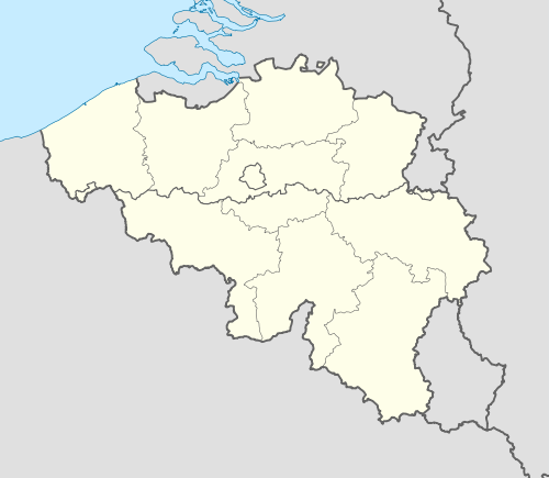 Sint-Lievens-Houtem Location in Belgium | |||
|
The municipality in the Aalst arrondissement in the province of East Flanders  | |||
| Coordinates: 50°55′N 03°52′E / 50.917°N 3.867°ECoordinates: 50°55′N 03°52′E / 50.917°N 3.867°E | |||
| Country | Belgium | ||
| Community | Flemish Community | ||
| Region | Flemish Region | ||
| Province | East Flanders | ||
| Arrondissement | Aalst | ||
| Government | |||
| • Mayor | Dr. Lieven Latoir(NIEUWH) | ||
| • Governing party/ies | NIEUWH, VLD | ||
| Area | |||
| • Total | 26.67 km2 (10.30 sq mi) | ||
| Population (1 January 2016)[1] | |||
| • Total | 10,152 | ||
| • Density | 380/km2 (990/sq mi) | ||
| Postal codes | 9520-9521 | ||
| Area codes | 053 | ||
| Website | www.sint-lievens-houtem.be | ||


Sint-Lievens-Houtem (Dutch pronunciation: [sɪnt ˌlivə(n)s ˈɦʌu̯tɛm], French Hautem-Saint-Liévin, not officially recognized) is a Dutch-speaking municipality of Belgium. It is located in the Denderstreek and at the edge of the Flemish Ardennes, the hilly southern part of the province of East Flanders (Flemish Region). Sint-Lievens-Houtem is crossed by the Molenbeek in Vlierzele, Zonnegem and Letterhoutem.
It is named after Saint Livinus (Sint Lieven in Dutch), a Christian saint believed to have been buried there.
The town comprises the former municipalities of Bavegem, Letterhoutem, Sint-Lievens-Houtem proper, Vlierzele, and Zonnegem, and the hamlets of Espenhoek, Cotthem, and Hoogveld, formerly parts of Oombergen.
Houtem Jaarmarkt
In November every year, Sint-Lievens-Houtem holds a winter fair and livestock market, the Houtem Jaarmarkt, at which hundreds of traders sell cattle and horses. In 2010 it was inscribed on the UNESCO Representative List of the Intangible Cultural Heritage of Humanity.[2]
Places of interest

Livinus Chapel (2008) 
Former water mill (2008)
References
- ↑ Population per municipality as of 1 January 2016 (XLS; 397 KB)
- ↑ "Houtem Jaarmarkt, annual winter fair and livestock market at Sint-Lievens-Houtem". UNESCO. Retrieved 2014-12-05.
External links
 Media related to Sint-Lievens-Houtem at Wikimedia Commons
- Official website - Only available in Dutch
- Webpage at Reocities
 |
Wetteren | Lede | | |
| Oosterzele | |
Erpe-Mere | ||
| ||||
| | ||||
| Zottegem | Herzele |
