Zāhir Pīr
| Zahir Pir Khanpur | |
|---|---|
| city | |
 Zahir Pir | |
| Coordinates: 28°48′36″N 70°31′34″E / 28.810°N 70.526°ECoordinates: 28°48′36″N 70°31′34″E / 28.810°N 70.526°E | |
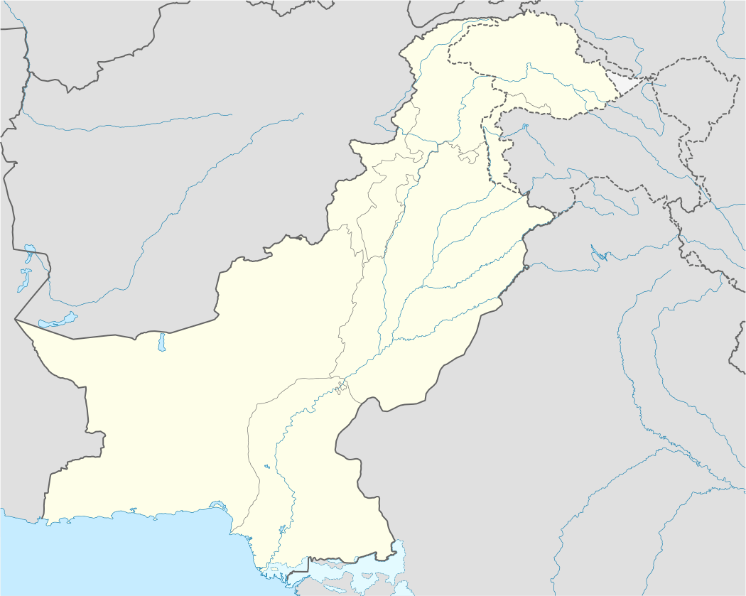
| Country | Pakistan |
| Province | Punjab |
| District | Rahim Yar Khan |
| Population | |
| • Total | 200,000 |
| 200 Thousand | |
| Time zone | PST (UTC+5) |
| Calling code | 0685 |
Zahir Pir is a city in Rahim Yar Khan District, Punjab, Pakistan. It is the biggest city of the district. Rahim Yar Khan after tehsils of RYK. It has highest chances to become a tehsil in upcoming years. It is located on N-5.It has Motorway Exchange from M-5 also. Zahir Pir is connected with Khanpur(20Km), Chachran Sharif (8Km) and connected to Kot Mitthan via Benazir Bhutto Shaheed Bridge. It has a population of more than 200 thousand. The city is semi developed and has good literacy rate. Many young boys of the city are related to the services and performing their duties in many National and mutltinational companies of Pakistan and abroad.This is situated near Chachran Sharif.
Villages of Zahir Pir include Moza Chandia, Moza Bakhrani, Basti Hafeez u llah Gharro, Shabir Abad, Pulli Pohoraan, Jalal Pur, Basti Makhdoom Umer Khan Labana, Basti Yaraani
References
Neighbourhoods of Rahim Yar Khan | ||
|---|---|---|
Administrations: Rahim Yar Khan District | ||
| Tehsils |  | |
| Cities | ||
| Towns and councils |
| |
| Villages |
| |