Woodland Park, Portland, Oregon
| Woodland Park | |
|---|---|
| Neighborhood | |
 Woodland Park | |
|
Coordinates: 45°32′06″N 122°33′36″W / 45.535°N 122.560°WCoordinates: 45°32′06″N 122°33′36″W / 45.535°N 122.560°W PDF map | |
| Country | United States |
| State | Oregon |
| City | Portland |
| Government | |
| • Association | Woodland Park Neighborhood Association |
| • Coalition | East Portland Neighborhood Office |
| Area | |
| • Total | 0.05 sq mi (0.13 km2) |
| Population (2000)[1] | |
| • Total | 302 |
| • Density | 6,020/sq mi (2,323/km2) |
| Housing[1] | |
| • No. of households | 110 |
| • Occupancy rate | 97% occupied |
| • % households renting | 19% renting |
| • Avg. household size | 2.75 persons |
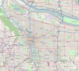
Woodland Park is an exclusively residential neighborhood in the Northeast section of Portland, Oregon. It borders Madison South on the west (beyond the I-84 and I-205 freeways), Parkrose Heights on the north and east, and Hazelwood on the south. It is roughly between NE 99th and 102nd, and NE Halsey and NE Tillamook.
Woodland Park has no schools, parks, or businesses. It has the smallest area of Portland's 95 officially recognized neighborhoods.
References
This article is issued from Wikipedia - version of the 11/17/2014. The text is available under the Creative Commons Attribution/Share Alike but additional terms may apply for the media files.